Search Constraints
Search Results


13202. View of the South End
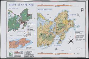
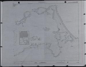
13203. Views of Cape Ann


13212. Longwood Medical Area


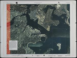
13218. Waterfront skyline


13220. Asia


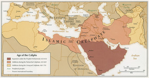
13228. Age of the Caliphs

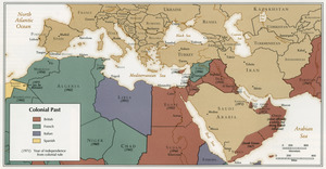
13230. Colonial Past
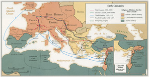
13231. Early Crusades

13232. East Asia


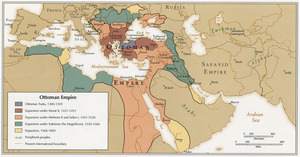
13236. Ottoman Empire
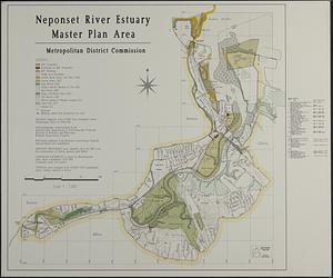
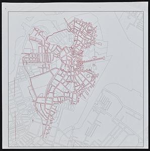
![[Character conversion print errors on] Draft working map Neponset River estuary](https://bpldcassets.blob.core.windows.net/derivatives/images/commonwealth:mc87v2589/image_thumbnail_300.jpg)

13240. Haiti


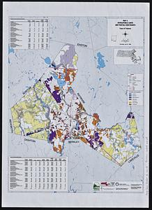
13247. Maps of Beverly


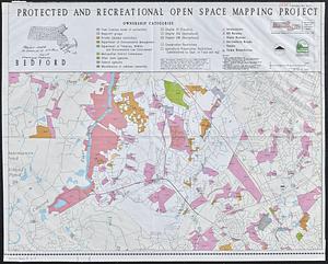
13250. DEM protected open space


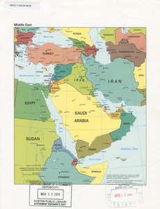
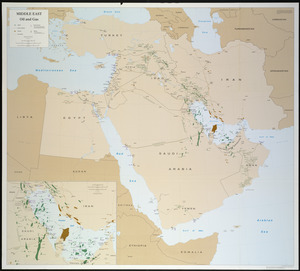
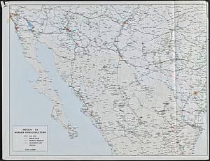
13262. Middle East

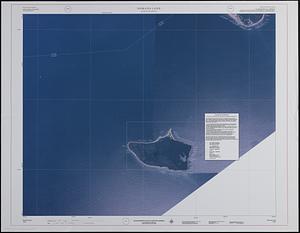
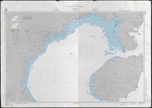
13263. Tactical pilotage chart, TPC
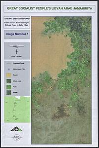
13264. Trans Sahara Railway project

13265. Boston shoreline 1630

13266. Boston shoreline 1795

13267. Boston shoreline 1852

13268. Boston shoreline 1880

13269. Boston shoreline 1916

13270. Boston shoreline 1934

13271. Boston shoreline 1950

13272. Boston shoreline 1995

13273. Boston shoreline composite
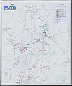
13275. PVTA bus map & guide
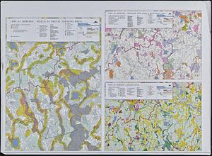
![Town of Plymouth [land development planning]](https://bpldcassets.blob.core.windows.net/derivatives/images/commonwealth:tt44v120f/image_thumbnail_300.jpg)

13277. Area plan as of May 1962

13278. The Boston Public Libraries


13283. Sudan

13284. China

13285. China


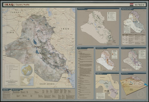
13290. Iraq country profile


13294. Asia

13295. Iraq


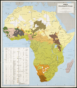
13297. Africa
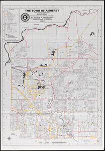
13298. Amherst map & guide

