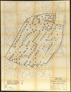
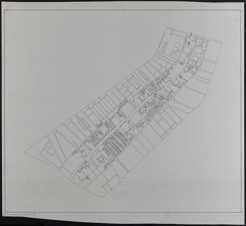
View of the South End
Item Information
- Title:
- View of the South End
- Description:
-
Manuscript map in ink on a translucent mylar sheet showing streets and some buildings in Boston's South End neighborhood.
- Cartographer:
- Boston Redevelopment Authority
- Date:
-
[ca. 1990–1999]
- Format:
-
Maps/Atlases
- Genre:
-
Manuscript maps
Aerial views
Outline maps
- Location:
-
Boston Public Library
Norman B. Leventhal Map & Education Center - Collection (local):
-
Norman B. Leventhal Map & Education Center Collection
- Series:
- Boston Redevelopment Authority Maps & Manuscript Plans Collection
- Subjects:
-
City planning--Massachusetts--Boston--Maps
Buildings--Massachusetts--Boston--Maps
Urban renewal--Massachusetts--Boston--Maps
South End (Boston, Mass.)--Maps
- Places:
-
MassachusettsSuffolk (county)BostonSouth End
- Extent:
- 1 manuscript map : on plastic ; 89 x 104 cm
- Terms of Use:
-
No known copyright restrictions.
No known restrictions on use.
- Place of origin:
-
[Boston]
- Scale:
-
Scale approximately 1:2,400
- Language:
-
English
- Identifier:
-
06_01_017837
- Call #:
-
BRA MAP FOLDER 34 no.5
- Barcode:
-
30000007747798