The Norman B. Leventhal Map Center's pre-20th-century cartographic holdings contain approximately 2,000 urban-related maps, with a special focus on maps and atlases depicting Boston and other Massachusetts cities and towns. Included are examples of the major types of urban mapping that were common in Europe and the United States from the end of the 16th century until the early 20th century.
One particularly significant type of urban representation in the collection is the bird's-eye or panoramic view, numbering about 600 items and featuring works by several Boston-based artists, such as O.H. Bailey, Albert Poole, Edwin Whitefield, and George Walker. The geographic focus of this subset is urban communities in Massachusetts, as well as in other New England and Mid-Atlantic states. Another category that is well represented in the collection is the New England town map, with 100 examples dating from the 1790s to 1860.
The large body of 19th-century materials is also accentuated by some of the earliest and very rare fire insurance publications, including C. Pinney's 1861 atlas of Boston – the first fire insurance atlas for Boston and one of the earliest for any city – as well as copies of the earliest Sanborn atlases for Boston, New York City, and Chicago. The collection also includes a substantial number of maps documenting the damage caused by Boston's great fire of 1872.
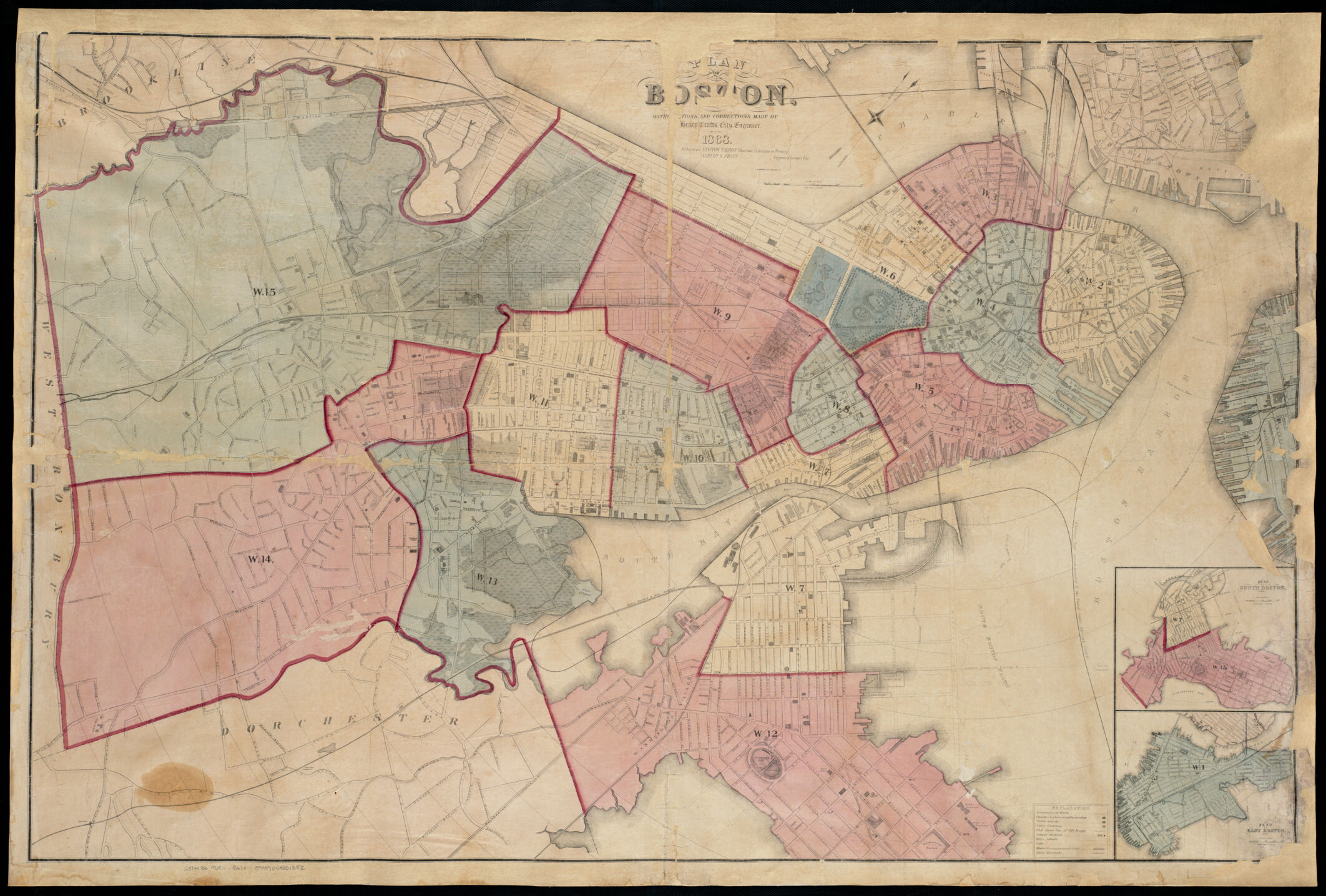
Not only do these maps document the structural growth of the city of Boston, both planned and unplanned, but they also document economic, cultural, and demographic activity and diversity. They also capture the growth of neighboring communities and their eventual incorporation into the greater Boston metropolitan area.
Guide to Historical Urban Atlases of Boston
One particularly significant type of urban representation in the collection is the bird's-eye or panoramic view, numbering about 600 items and featuring works by several Boston-based artists, such as O.H. Bailey, Albert Poole, Edwin Whitefield, and George Walker. The geographic focus of this subset is urban communities in Massachusetts, as well as in other New England and Mid-Atlantic states. Another category that is well represented in the collection is the New England town map, with 100 examples dating from the 1790s to 1860.
The large body of 19th-century materials is also accentuated by some of the earliest and very rare fire insurance publications, including C. Pinney's 1861 atlas of Boston – the first fire insurance atlas for Boston and one of the earliest for any city – as well as copies of the earliest Sanborn atlases for Boston, New York City, and Chicago. The collection also includes a substantial number of maps documenting the damage caused by Boston's great fire of 1872.
Not only do these maps document the structural growth of the city of Boston, both planned and unplanned, but they also document economic, cultural, and demographic activity and diversity. They also capture the growth of neighboring communities and their eventual incorporation into the greater Boston metropolitan area.
Guide to Historical Urban Atlases of Boston