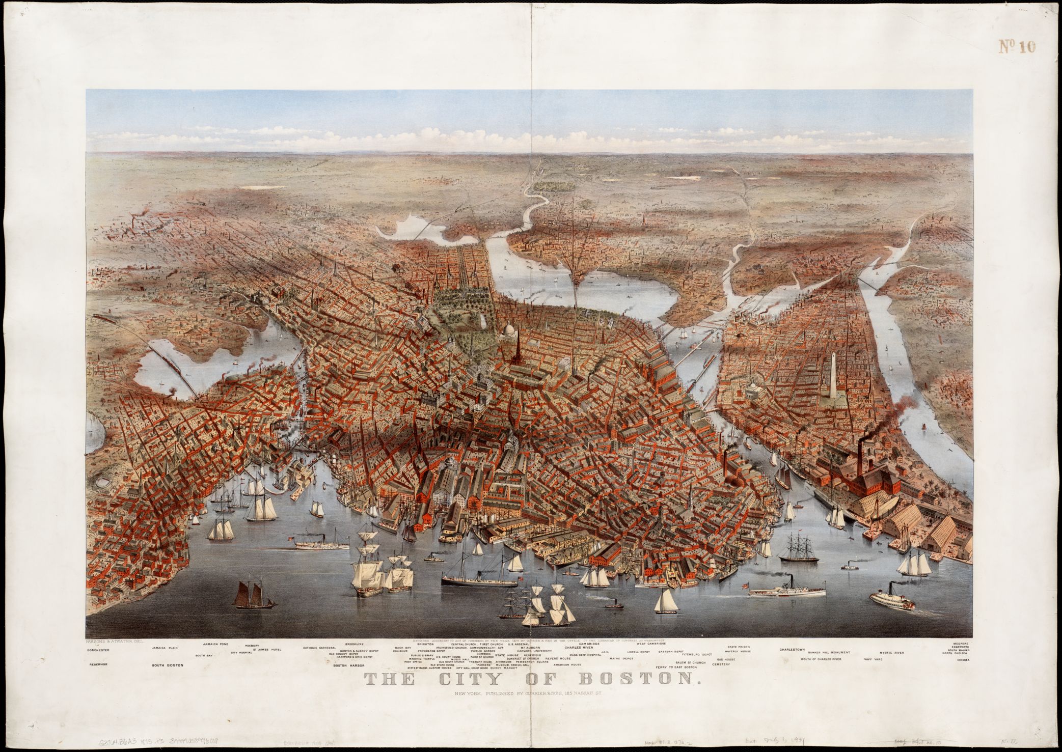
The primary geographical focus of the Norman B. Leventhal Map Center's pre-20th-century Boston and New England Maps Collection is the local region, encompassing Boston, Massachusetts, and New England. The collection consists of more than 600 maps of the city of Boston and approximately 1,000 maps of the Commonwealth of Massachusetts and its counties, regions, and towns, along with 75 related atlases.
In addition, there are approximately 500 individual maps and 20 atlases providing coverage of the New England region as a whole, as well as more detailed coverage of the other New England states and their respective counties, regions, and towns.
Boston Public Library's holdings represent one of the largest with this specific regional focus and also one of the most representative. The collection includes a number of unique or very rare items, including the fourth impression of John Bonner's map of Boston (dated between 1723 and 1730), Charles Bulfinch's 1813 manuscript plans for filling in the Mill Pond, Charles Pinney's 1861 fire insurance atlas of Boston, the Sanborn Company's first fire insurance atlas of the city (1867), and numerous manuscript cadastral survey plats.
These materials date from the early 17th century, but the majority belongs to the last half of the 18th century and the entire 19th century. The great majority of these maps are in English. Some of the earliest regional maps were published in Latin and Dutch, however, and many from the 18th century were published in French and German.