Wellhead protection areas in southeastern Massachusetts
Item Information
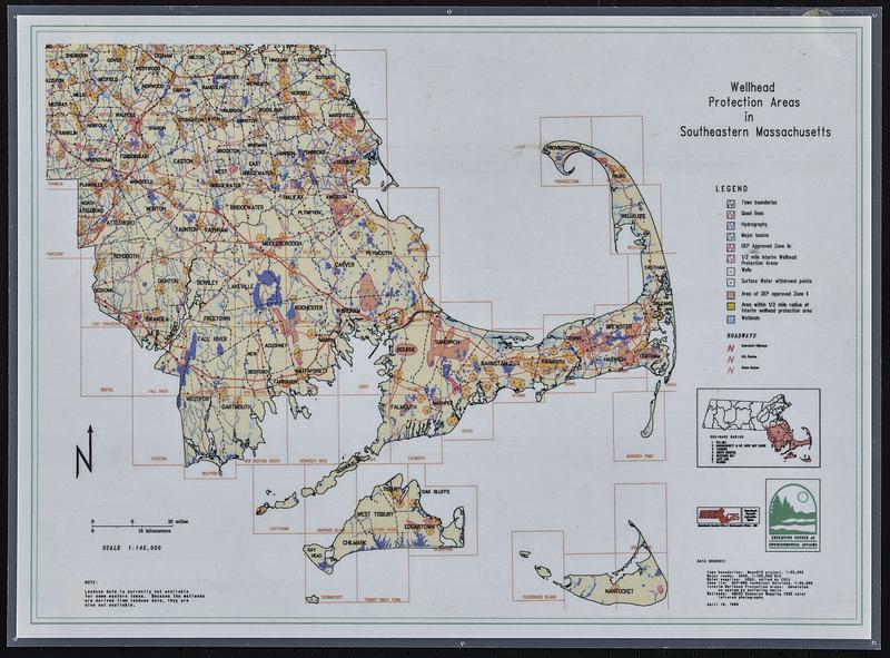
- Title:
- Wellhead protection areas in southeastern Massachusetts
- Cartographer:
- MassGIS (Office : Mass.)
- Cartographer:
- Massachusetts. Executive Office of Environmental Affairs
- Name on Item:
-
MassGIS ; Executive Office of Environmental Affairs
- Date:
-
1990
- Format:
-
Maps/Atlases
- Genre:
-
Thematic maps
- Location:
-
Boston Public Library
Norman B. Leventhal Map & Education Center - Collection (local):
-
Applied Geographics, Inc. Records
- Subjects:
-
Massachusetts--Maps
Wellhead protection--Massachusetts--Maps
Wetlands--Massachusetts--Maps
- Places:
-
Massachusetts
- Extent:
- 1 map : color, plastic-coated ; 26 x 37 cm
- Terms of Use:
-
No known copyright restrictions.
No known restrictions on use.
- Publisher:
-
[Massachusetts] :
MassGIS
- Scale:
-
Scale approximately 1:450,000
- Language:
-
English
- Notes:
-
Includes inset location map showing drainage basins.
Printed at a smaller size and scale is smaller than given scale statement of 1:145,000.
- Identifier:
-
06_01_018911
- Call #:
-
AppGeo Folder 3 no. 9
- Barcode:
-
30000008056475


