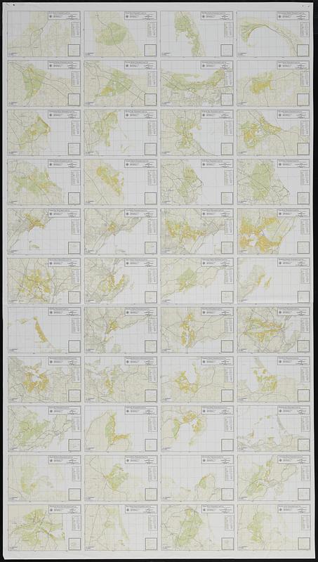
Massachusetts watersheds land use
Item Information
- Title:
- Massachusetts watersheds land use
- Cartographer:
- Applied Geographics, Inc.
- Name on Item:
-
Applied Geographics, Inc.
- Date:
-
1995
- Format:
-
Maps/Atlases
- Location:
-
Boston Public Library
Norman B. Leventhal Map & Education Center - Collection (local):
-
Applied Geographics, Inc. Records
- Subjects:
-
Massachusetts--Maps
Watersheds--Massachusetts--Maps
Land use--Massachusetts--Maps
- Places:
-
Massachusetts
- Extent:
- 44 maps on 1 sheet : color ; 12 x 19 cm on sheet 142 x 80 cm
- Terms of Use:
-
No known copyright restrictions.
No known restrictions on use.
- Publisher:
-
Boston :
Applied Geographics, Inc.
- Language:
-
English
- Table of Contents:
-
Rock Harbor
Sandwich Harbor
Green Harbor River
Cohasset Harbor
Nahant Bay
Danvers River
Hull Bay
Weymouth Fore River
Essex Bay
Eagle Hill River
Merrimack River MA
Pamet River
Scorton Harbor
Duxbury Bay
Scituate Harbor
Lynn Harbor
Salem Harbor
Beverley Harbor
Weymouth Back River
Sandy Bay
Ipswich River
Plum Island Sound
Wellfleet Harbor
Barnstable Harbor
Kingston Bay South River
Saugus River
Manchester Harbor
Bass River
Hingham Harbor
Gloucester Harbor
Ipswich Bay
Parker River
Provincetown Harbor
Sesuit Harbor
Plymouth Harbor
North River
Pines River
Marblehead Harbor
North River
Weir River
Hingham Bay
Annisquam River
Rowley River.
- Notes:
-
Overview of 44 maps of watersheds in Massachusetts showing land use.
Maps titled with [area name] watershed land use : identification of Massachusetts Bays embayments at risk of eutrophication.
"Plot produced on May 31, 1995."
- Identifier:
-
06_01_018901
- Call #:
-
AppGeo Folder 1 no. 10
- Barcode:
-
30000008056333


