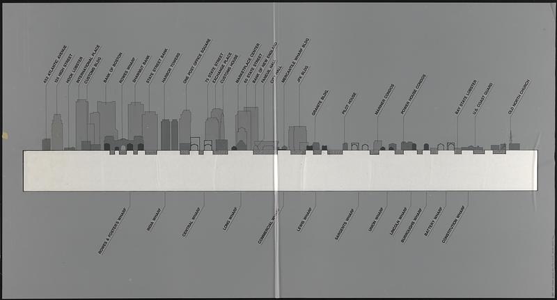
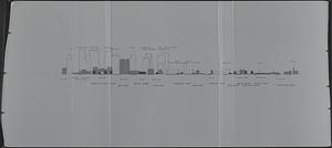
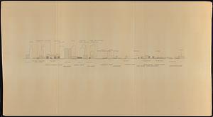
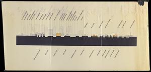
Waterfront skyline

Item Information
- Title:
- Waterfront skyline
- Description:
-
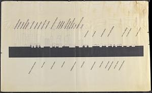
5 profile views of buildings in Boston's North End and downtown, from the northeast. One view on translucent mylar has building outlines and label lines in manuscript in ink, building and wharf labels printed on adhesive film, buildings filled with adhesive gradient films, and a strip of white paper taped on the verso below the buildings. A second view on translucent mylar has building outlines in manuscript in ink, buildings and wharf labels printed on adhesive film, and buildings filled with adhesive gradient films. The third view on paper is a photocopy of the second view. The fourth view on paper has manuscript corrections that become the first view. The fifth view on paper is the same as the first view.
- Date:
-
[ca. 1991]
- Format:
-
Maps/Atlases
- Genre:
-
Cityscapes
Manuscript maps
- Location:
-
Boston Public Library
Norman B. Leventhal Map & Education Center - Collection (local):
-
Norman B. Leventhal Map & Education Center Collection
- Series:
- Boston Redevelopment Authority Maps & Manuscript Plans Collection
- Subjects:
-
Buildings--Massachusetts--Boston--Pictorial works
Wharves--Massachusetts--Boston--Pictorial works
Boston (Mass.)--Pictorial works
- Places:
-
MassachusettsSuffolk (county)BostonNorth End
Downtown Boston
- Extent:
- 5 illustrations : on plastic and paper ; sheets 108 x 206 cm or smaller
- Terms of Use:
-
No known copyright restrictions.
No known restrictions on use.
- Language:
-
English
- Notes:
-
Title in manuscript in pencil on photocopied view.
- Identifier:
-
06_01_017865A
06_01_017865B
06_01_017865C
- Call #:
-
BRA MAP FOLDER 28
- Barcode:
-
30000007747766


