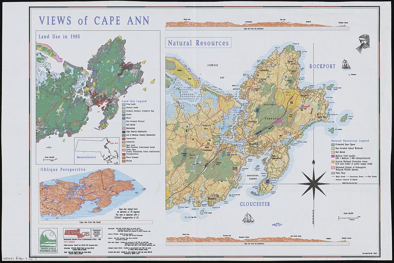
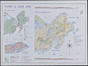
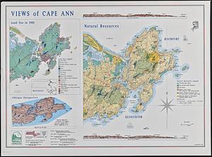
Views of Cape Ann

Item Information
- Title:
- Views of Cape Ann
- Cartographer:
- MassGIS (Office : Mass.)
- Name on Item:
-
MassGIS
- Date:
-
1990
- Format:
-
Maps/Atlases
- Genre:
-
Aerial views
Topographic maps
- Location:
-
Boston Public Library
Norman B. Leventhal Map & Education Center - Collection (local):
-
David Judkins Weaver Papers
- Subjects:
-
Gloucester (Mass.)--Maps
Rockport (Mass. : Town)--Maps
Ann, Cape (Mass.)--Aerial views
Ann, Cape (Mass.)--Maps
Land use--Massachusetts--Gloucester--Maps
Land use--Massachusetts--Rockport (Town)--Maps
Land use--Massachusetts--Ann, Cape--Maps
Natural resources--Massachusetts--Gloucester--Maps
Natural resources--Massachusetts--Rockport (Town)--Maps
Natural resources--Massachusetts--Ann, Cape--Maps
- Places:
-
MassachusettsEssex (county)Gloucester
MassachusettsEssex (county)Rockport
MassachusettsEssex (county)Ann, Cape
- Extent:
- 3 maps on 1 sheet : color ; 83 x 116 cm
- Terms of Use:
-
No known copyright restrictions.
No known restrictions on use.
- Publisher:
-
[Boston] :
Executive Office of Environmental Affairs
- Scale:
-
Scales differ
- Language:
-
English
- Table of Contents:
-
Land use in 1985
Oblique perspective, Cape Ann from the south
Natural resources
- Notes:
-
Relief shown by land forms.
Includes illustrations and 2 coastal profiles.
"Map composed May 1990 - MT & DW."
Three versions: full-size pen plot, full-size pen plot with different print options, and reduced printout.
- Identifier:
-
06_01_018789A
06_01_018789B
06_01_018789C
- Call #:
-
Weaver folder 9 no. 7-9