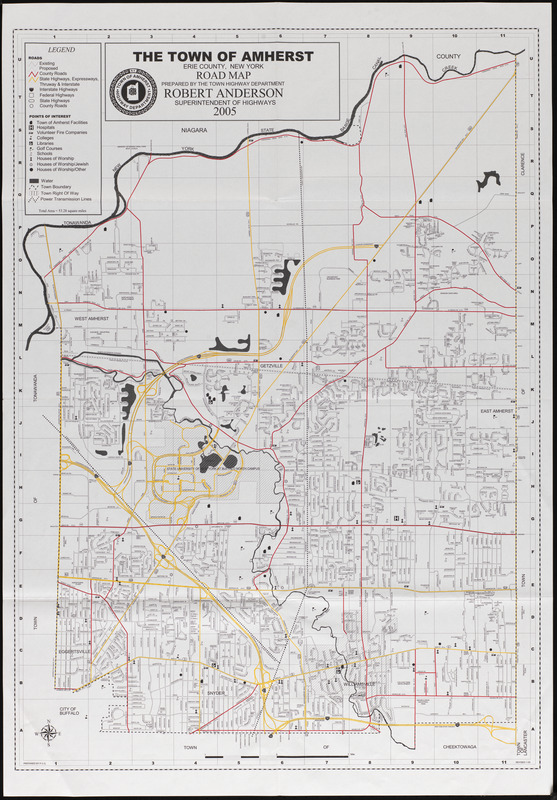
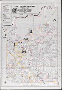
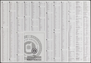
Amherst map & guide
Item Information
- Title:
- Amherst map & guide
- Name on Item:
-
Prepared by the town highway department, Robert Anderson, Superintendent of Highways ; prepared by P. C. G.
- Date:
-
2005
- Format:
-
Maps/Atlases
- Location:
-
Phillips Academy
Archives and Special Collections - Collection (local):
-
Robert E. Diefenbach Map Collection
- Subjects:
-
Streets
- Places:
-
New YorkErie (county)Amherst
- Extent:
- 1 map : col. ; 83 x 59 cm, folded to 32 x 23 cm
- Terms of Use:
-
This Item is protected by copyright and/or related rights. You are free to use this Item in any way that is permitted by the copyright and related rights legislation that applies to your use. For other uses you need to obtain permission from the rights-holder(s).
This work is licensed for use under a Creative Commons Attribution Non-Commercial Share Alike License (CC BY-NC-SA).

- Scale:
-
Scale ca. 1:19,495
- Language:
-
English
- Notes:
-
Title from item.
- Notes (date):
-
Date from item.
- Identifier:
-
2018_010