Toggle navigation
LMEC Home
Collections
My Favorites
Exhibitions
Georeferencing
Tools for Teachers
Sign Up / Log In
Search
Search the map portal
Search
Search
Search for
Search in
All Fields
Title
Subject
Place
Creator
Search All Digital Collections
Advanced Search
15438 Results
Filter your Search
Show filters
Hide filters
Place
North and Central America
12,095
United States
10,050
Massachusetts
3,968
Suffolk (county)
1,745
Boston
1,695
Europe
1,465
Canada
1,035
New York
890
more
Place
»
Topic
Boston (Mass.)--Maps
772
City planning--Massachusetts--Boston--Maps
423
United States--Maps
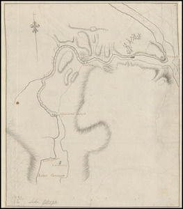
360
United States--History--Revolution, 1775-1783--Maps
331
Real property--Massachusetts--Boston--Maps
264
Urban renewal--Massachusetts--Boston--Maps
254
Massachusetts--Maps
250
North America--Maps--Early works to 1800
242
more
Topic
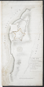
»
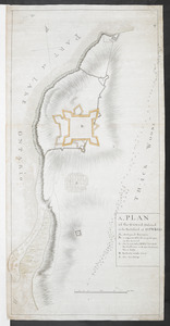
Date
Begin
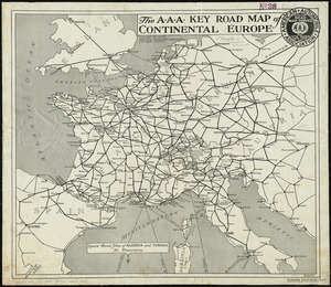
End
View distribution
Creator
United States. National Ocean Service
722
United States. Hydrographic Office
600
Boston Redevelopment Authority
404
Des Barres, Joseph F. W. (Joseph Frederick Wallet), 1722-1824
246
Jefferys, Thomas, -1771
188
Royal United Services Institute for Defence and Security Studies
160
George, III, King of Great Britain, 1738-1820
152
George, IV, King of Great Britain, 1762-1830
151
more
Creator
»
Format
Maps/Atlases
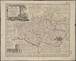
15,225
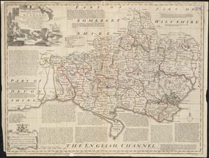
Manuscripts
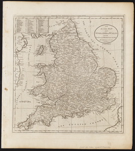
985
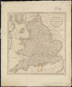
Prints
109
Books
73
Drawings/Illustrations
44
Objects/Artifacts
18
Ephemera
15
Photographs
15
more
Format
»
Georeferenced
Yes
1,312
No
14,126
Collection
Norman B. Leventhal Map & Education Center Collection
9,516
American Revolutionary War-Era Maps
3,914
Boston and New England Maps
3,095
Urban Maps
2,575
Maritime Charts and Atlases
1,171
William L. Clements Library Collection
910
U.S. Government Documents Maps Collection
756
Library of Congress Collection
618
more
Collection
»
Available to use
No known restrictions
11,388
Creative Commons license
1,688
Sort
by relevance
relevance
title
date (asc)
date (desc)
recently added
Number of results to display per page
100
per page
per page
10
per page
20
per page
50
per page
100
per page
Search Results
1.
1. Egypt and the Near East, 3000-1200 BCE
2.
1. Prise de Newport par d'Estaing, 1778 : 2. Embossage de Ternay à Newport, 1780
3.
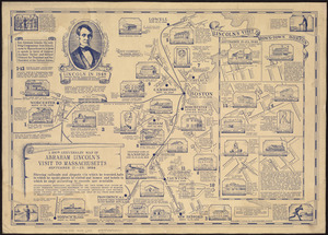
The 100th anniversary map of Abraham Lincoln's visit to Massachusetts, September 11-23, 1848
4.
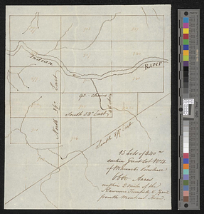
15 lots of 440a each in Great Lot no. 4 of Macomb purchase : 6600 acres within 2 miles of the St. Lawrence Turnpike & 1/2 mile...
5.
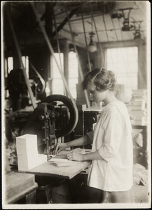
15-year old girl punching cards. Boston Index Card Co., 113 Purchase Street.
6.
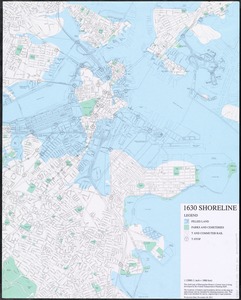
1630 shoreline
7.
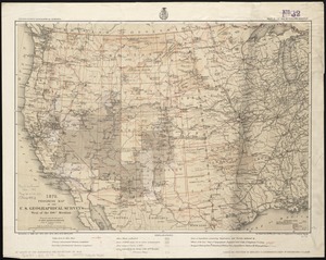
1879. Progress map of the U.S. Geographical Surveys west of the 100th Meridian : prepared under the direction of 1st Lieut....
8.
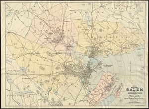
1903 Map of Salem and surrounding places
9.
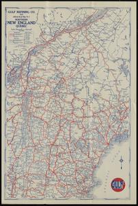
1929 official road map no. 1, northern New England, Québec
10.
1930 highway map of Rhode Island : showing the state highway system and principal connecting roads
11.
1930 Socony road map of New England
12.
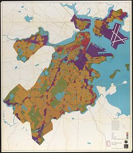
1975 general land use plan
13.
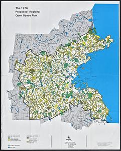
The 1976 proposed regional open space plan
14.
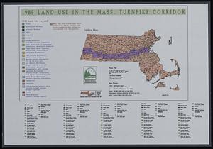
1985 land use in the Mass. Turnpike corridor
15.
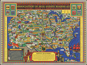
19th annual convention of the National Association of Real Estate Boards : at Tulsa, June 7 to June 11 in 1926
16.
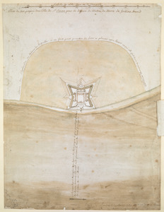
1.r Plan du fort proposé dans l'Ille de S.t Simon pour la deffence de l'Entree du Havre de Jenkins Sownd
17.
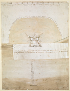
1.r Plan du fort proposé dans l'Ille de S.t Simon pour la deffence de l'Entree du Havre de Jenkins Sownd
18.
1st. & 2d. position of that part of the army engaged on the 19th Sept. 1777 : 3d & 4th postn. Sept. 19
19.
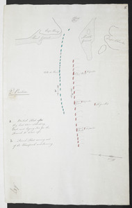
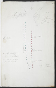
1:st Position
20.
1st. sheet of De Witt's state-map of New York
21.
1.st sheet of De Witt's state-map of New-York
22.
2. Egypt and the Near East, 1200 to 500 BCE
23.
20 tracts, Charleston
24.
20 tracts, Tioga County
25.
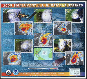
2005 significant U.S. hurricane strikes
26.
The 2100 project : an atlas for the Green New Deal
27.
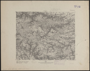
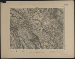
227 Harzgerode
28.
2:d Position
29.
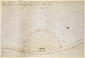
2.e Plan d'une Batterie & d'une Redoute avec un Corps de Garde construit en forme de Redoute a Machecoulis pour y Servir de...
30.
3. Greece and the Aegean in the fifth century BCE
31.
305 Glatz
32.
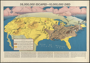
38,000,000 escaped -- 10,000,000 died
33.
3:d Position
34.
4. Greece and Persia in the Time of Alexander the Great
35.
4 Kinten
36.
4:th Position
37.
5. Italy in the mid-first century CE
38.
6. The world of the New Testament and the journeys of Paul
39.
660 Wakulah St., Roxbury
40.
7. The Roman Empire around 200 CE
41.
74 miles on the ocean scenic highway U.S. 1
42.
7th map to accompany Willards History of the United States
43.
[A chart of Boston Bay and vicinity]
44.
[A chart of New York Island & North River : East River, passage through Hell Gate, Flushing Bay, Hampstead Bay, Oyster,...
45.
[A colored map of the route between Albany and Oswego; drawn about 1756, on a scale of 2 miles to an inch]
46.
[A coloured chart of the upper part of Lake Erie at Fort Erie and a detailed plan of Fort Erie, together with three cross...
47.
A= draught of Boston Harbor
48.
[A manuscript map of Isle Royalle]
49.
[A map of Fort Carillon and environs]
50.
[A map of Fort Carillon and environs]
51.
[A map of Lake Champlain and Lake George, showing the route from Fort Edward to Montreal]
52.
[A map of Lake Erie with the route southward from Fort Presqu'Isle to Fort Cumberland, with inset plans of Fort Pitt, Fort...
53.
[A map of Lake George from Fort William Henry to Ticonderoga]
54.
[A map of Nova Scotia showing the post roads]
55.
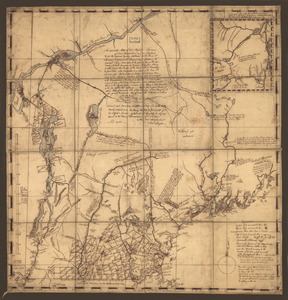
[A map of part of New York, comprehending the country between New York and Quebec, the river Connecticut, &c., to shew "the way...
56.
[A map of part of New York, comprehending the country between New York and Quebec, the river Connecticut, &c., to shew "the way...
57.
[A map of part of Pennsylvania & Maryland intended to shew, at one view, the several places proposed for opening a...
58.
[A map of the east coast of America from Newfoundland to the Bay of Honduras]
59.
[A map of the River Schohary with a plan and elevation of the new fort]
60.
[A map of the southern part of the Lake Champlain, from "Tienderoga fort" to Crown Point]
61.
[A map showing the northern part of Lake George and Fort Ticonderoga]
62.
[A map showing the post route between the River St. Lawrence and the Bay of Fundy] : [on a scale of 5 1/3 miles to an inch.]
63.
[A map showing the post route between the River St. Lawrence and the Bay of Fundy] : [on a scale of 5 1/3 miles to an inch.]
64.
A, PLAN of the Ground Defined to be Fortified at OSWEGO
65.
A, PLAN of the Ground Defined to be Fortified at OSWEGO
66.
[A sketch map of the proposed battery (?) on Jekyll Island (?)]
67.
The A.A.A. key road map of continental Europe
68.
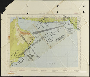
AAF special chart - Gulf of Oman
69.
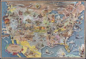
Aaron Bohrod's America, its history
70.
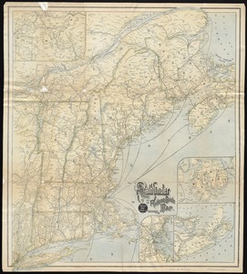
ABC pathfinder railway guide map : eastern division
71.
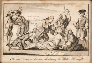
The able doctor; or America swallowing the bitter draught
72.
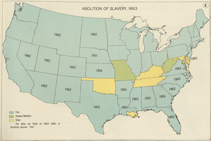
Abolition of Slavery, 1863
73.
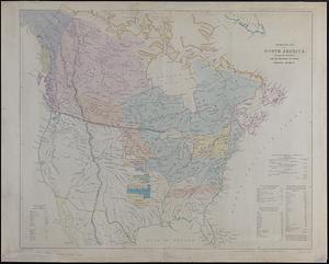
Aboriginal map of North America, denoting the boundaries and the locations of various Indian tribes
74.
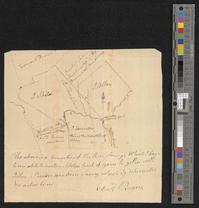
The above is a connection of the three surveys which I have been able to make on Peters Creek, of yours to gether with John...
75.
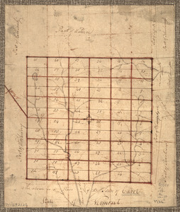
The Above is a plan of the town of Cabot, State of Vermont
76.
The above plan is a discription of a new township called Royalsborough in the county of Cumberland : bounded southeasterly on...
77.
The above plan is a discription of a new township containing the quantity of seven and a half mile of land & water, granted by...
78.
Abriss der stadt Gibraltar und der darinn befindlichen festen platze, nebst dem meerbusen von Algesiras
79.
[Acadie, Isle Saint Jean and part of Isle Royale with the Baye Francoise]
80.
Acapulco, México
81.
[Account of the action at Fort Niagara]
82.
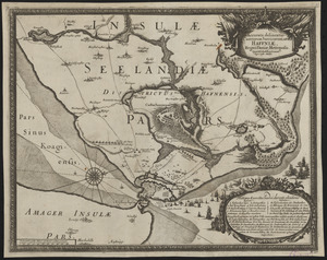
Accurata delineatio Castrorum Suecicorum, ut et Haffniae, Regni Daniae Metropolis
83.
Accurata delineatio celeberrimæ Regionis Ludovicianæ vel Gallice Louisiane ... Canadæ et Floridæ adpellatione in Septemtrionali...
84.
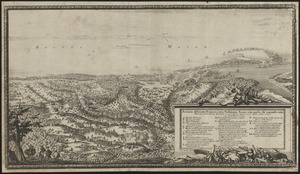
Accurata delineatio oppugnatae a faederatis, Caesareis, Polonicis, Danicis, et Brandeburgicis copijs sub-ductu Seren: Electoris...
85.
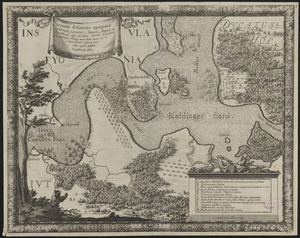
Accurata delineatio regionis circa Nieburgum Fioniæ cum prælio ibi commisso inter Danorum et fæderatorum exercitum ab una et...
86.
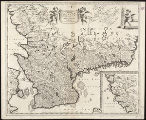
Accurata Scaniae, Blekingiae et Hallandiae descriptio
87.
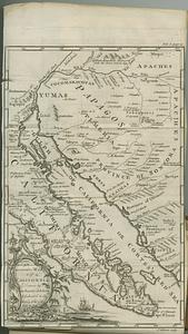
An accurate map of California drawn by the society of Jesuits, & dedicated to the king of Spain
88.
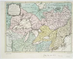
An accurate map of Canada, with the adjacent countries : exhibiting the late seat of war between the English & French in those...
89.
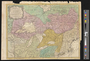
An accurate map of Canada, with the adjacent countries; exhibiting the late seat of war between the English & French in those...
90.
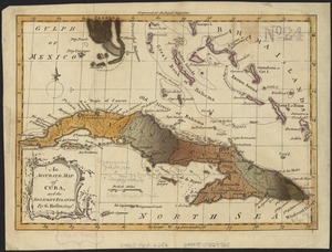
An accurate map of Cuba, and the adjacent islands
91.
An accurate map of Dorset Shire divided into hundreds
92.
An accurate map of Dorset Shire, divided into its hundreds
93.
An accurate map of England and Wales with the principal roads from the best authorities
94.
An accurate map of England and Wales with the principal roads from the best authorities
95.
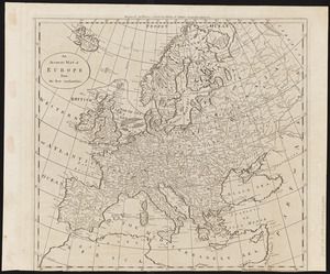
An accurate map of Europe from the best authorities
96.
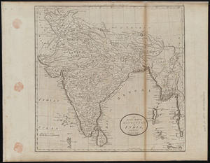
An accurate map of Hindostan or India, from the best authorities
97.
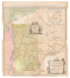
An accurate map of His Majesty's province of New Hampshire in New England, taken from actual surveys of all the inhabited part,...
98.
An accurate map of His Majesty's province of New-Hampshire in New England : taken from actual surveys of all the inhabited...
99.
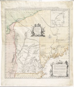
An accurate map of His Majesty's province of New-Hampshire in New England : taken from actual surveys of all the inhabited...
100.
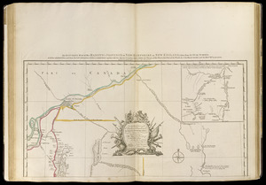
An accurate map of His Majesty's Province of New-Hampshire in New England & all the adjacent country northward to the River St....
« Previous
Next »
1
2
3
4
5
…
154
155