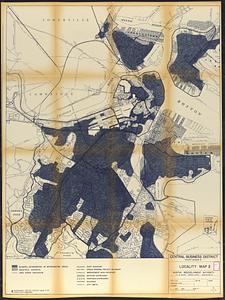
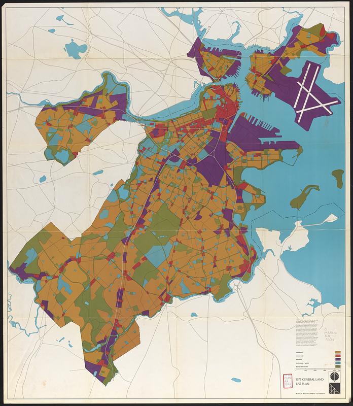
1975 general land use plan
Item Information
- Title:
- 1975 general land use plan
- Cartographer:
- Boston Redevelopment Authority
- Date:
-
[1965]
- Format:
-
Maps/Atlases
- Location:
-
Boston Public Library
Central Library in Copley Square - Collection (local):
-
Boston Public Library Collection
- Subjects:
-
Boston (Mass.)--Maps
City planning--Massachusetts--Boston--Maps
Urban renewal--Massachusetts--Boston--Maps
Land use--Massachusetts--Boston--Maps
- Places:
-
Suffolk (county)Boston
- Extent:
- 1 map : color ; 104 x 90 cm
- Terms of Use:
-
No known copyright restrictions.
No known restrictions on use.
- Publisher:
-
[Boston] :
Boston Redevelopment Authority
- Scale:
-
Scale approximately 1:19,200
- Language:
-
English
- Notes:
-
"Graphic representation of all major land use policies and recommendations set forth in the 1965/1975 general plan for the city of Boston and the regional core."
Indicates residential, commercial, industrial, institutional/public, and public open space.
- Notes (date):
-
This date is inferred.
- Identifier:
-
06_01_017804
- Call #:
-
M3.B16/RA/75.21
- Barcode:
-
mq6318272