1630 shoreline
Item Information
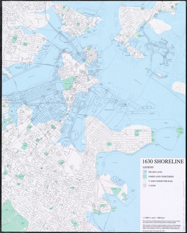
- Title:
- 1630 shoreline
- Creator:
- Metropolitan Planning Organization (Mass.). Central Transportation Planning Staff
- Name on Item:
-
Central Transportation Planning Staff.
- Date:
-
2011
- Format:
-
Maps/Atlases
- Location:
-
Boston Public Library
Norman B. Leventhal Map & Education Center - Collection (local):
-
Norman B. Leventhal Map & Education Center Collection
- Subjects:
-
Local transit--Massachusetts--Boston--Maps
Fills (Earthwork)--Massachusetts--Boston--History--Maps
Boston (Mass.)--History--Maps
- Places:
-
MassachusettsSuffolk (county)Boston
- Extent:
- 1 map : col., mounted on foamboard ; 78 x 62 cm.
- Terms of Use:
-
No known copyright restrictions.
No known restrictions on use.
- Publisher:
-
[Massachusetts] :
Central Transportation Planning Staff
- Scale:
-
Scale 1:12,000
- Language:
-
English
- Notes:
-
A recent map of Boston showing roads and local transit with color overlay showing the 1630 shoreline.
"This draft map of Metropolitan Boston's central area is being developed by the Central Transportation Planning Staff... not intended for survey, engineering or legal purposes."
"Production date: November 26, 2011."
- Identifier:
-
06_01_011563
- Call #:
-
G3764.B6C3 1630 .M47x 2011
- Barcode:
-
39999065652099


