Search Constraints
Search Results
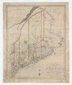


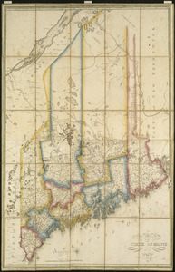
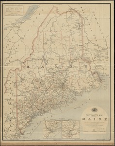
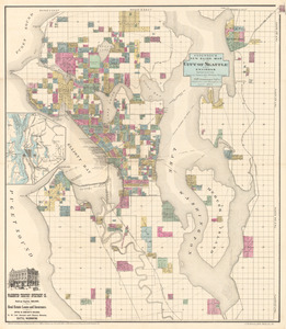
9. Maine

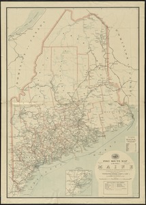
10. Maine


![[Map of the area along the Saint Croix River in Maine and New Brunswick]](https://bpldcassets.blob.core.windows.net/derivatives/images/commonwealth:6108vt00n/image_thumbnail_300.jpg)
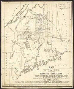
![Map of the disputed territory [Maine]](https://bpldcassets.blob.core.windows.net/derivatives/images/commonwealth:7h14b025h/image_thumbnail_300.jpg)
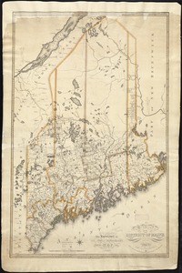

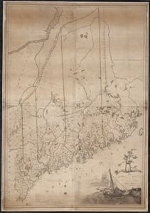


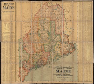


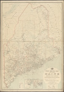


44. State of Maine

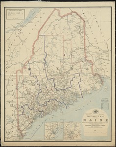
45. State of Maine

46. State of Maine


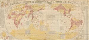
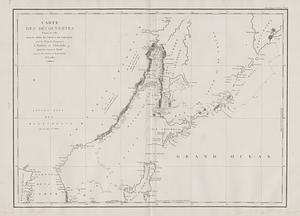
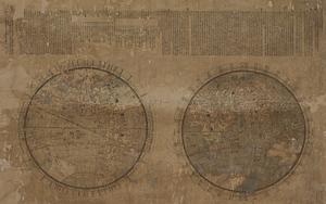
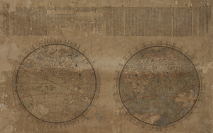
55. Bankoku yochi zu
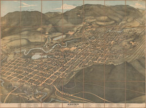
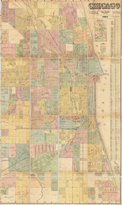
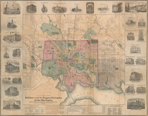
59. Chicago
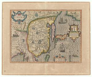
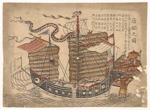
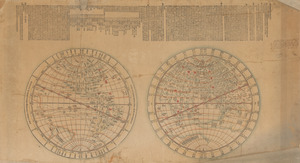
60. China
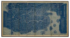

65. Dongguk yojido

69. Haejwa do
70. Joseon yojido


76. Map of Seoul