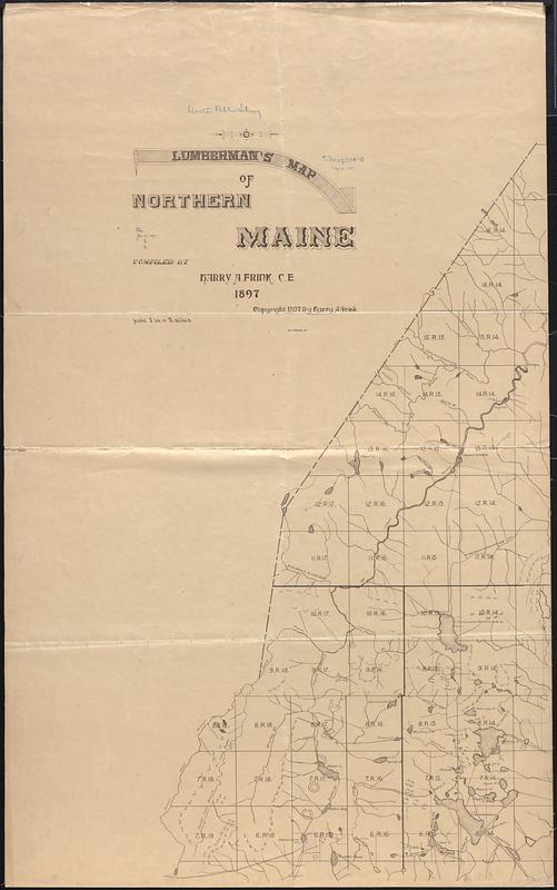
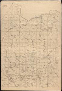
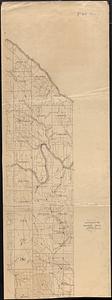
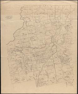
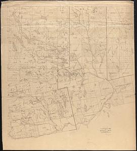
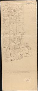
Lumberman's map of northern Maine

Item Information
- Title:
- Lumberman's map of northern Maine
- Cartographer:
- Frink, Harry A.
- Name on Item:
-
compiled by Harry A. Frink
- Date:
-
1897
- Format:
-
Maps/Atlases
- Location:
-
Boston Public Library
Norman B. Leventhal Map & Education Center - Collection (local):
-
Norman B. Leventhal Map & Education Center Collection
- Subjects:
-
Maine--Maps
Roads--Maine--Maps
- Places:
-
Maine
- Extent:
- 1 map on 6 sheets ; 201 x 210 cm, on sheets 122 x 76 cm or smaller
- Terms of Use:
-
No known copyright restrictions.
No known restrictions on use.
- Publisher:
-
Harry A. Frink
- Scale:
-
Scale 1:126,720. 1 in. = 2 mi
- Language:
-
English
- Notes:
-
Shows wood roads, graded roads, and railways. Map and legend not colored in.
Relief shown by hachures.
- Identifier:
-
06_01_009513A
06_01_009513B
06_01_009513C
06_01_009513D
06_01_009513E
06_01_009513F
- Call #:
-
G3731.P2 1897 .F75x
- Barcode:
-
39999065663955


