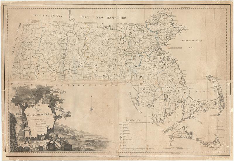
Map of Massachusetts proper : compiled from actual surveys made by order of the general court, and under the inspection of agents of their appointment
This map is also available in American Revolutionary Geographies Online (ARGO), a collections portal especially built for material relating to the American Revolutionary War Era. Visit ARGO to learn more about this item and explore the historical geography of North America in the late eighteenth century.
Item Information
- Title:
- Map of Massachusetts proper : compiled from actual surveys made by order of the general court, and under the inspection of agents of their appointment
- Cartographer:
- Carleton, Osgood, 1742-1816
- Engraver:
- Callender, Joseph, 1751-1821
- Engraver:
- Graham, George, active 1788-1813
- Engraver:
- Hill, Samuel, approximately 1766-1804
- Name on Item:
-
by Osgood Carleton ; engraved by Joseph Callender and Samuel Hill ; vignette drawn by G. Graham
- Date:
-
[1801]
- Format:
-
Maps/Atlases
- Location:
- MacLean Collection Map Library
- Collection (local):
-
MacLean Collection Map Library
- Subjects:
-
Massachusetts--Maps
- Places:
-
Massachusetts
- Extent:
- 1 map : hand color ; 78 x 115 cm
- Terms of Use:
-
Public Domain/No known restrictions on use. Contact host institution to download image.
Contact host institution for more information.
- Publisher:
-
Boston :
Osgood Carleton
- Language:
-
English
- Notes:
-
Decorative title cartouche.
- Notes (date):
-
This date is inferred.
- Identifier:
-
MC1856_Carleton_Mass_1801
- Call #:
-
1856


