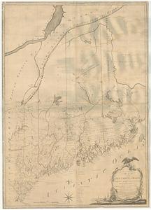
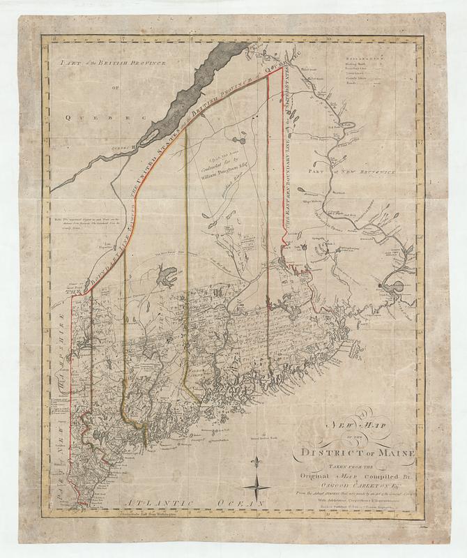
A new map of the district of Maine taken from the original map compiled by Osgood Carleton esqr. from the actual surveys that were made by an act of the general court with additions corrections & improvements
This map is also available in American Revolutionary Geographies Online (ARGO), a collections portal especially built for material relating to the American Revolutionary War Era. Visit ARGO to learn more about this item and explore the historical geography of North America in the late eighteenth century.
Item Information
- Title:
- A new map of the district of Maine taken from the original map compiled by Osgood Carleton esqr. from the actual surveys that were made by an act of the general court with additions corrections & improvements
- Cartographer:
- Carleton, Osgood, 1742-1816
- Publisher:
- Norman, John, 1748?-1817
- Date:
-
[1798]
- Format:
-
Maps/Atlases
- Location:
- MacLean Collection Map Library
- Collection (local):
-
MacLean Collection Map Library
- Subjects:
-
Maine--Maps
- Places:
-
Maine
- Extent:
- 1 map : hand color ; 64 x 50 cm
- Terms of Use:
-
Public Domain/No known restrictions on use. Contact host institution to download image.
Contact host institution for more information.
- Publisher:
-
Boston :
I. Norman
- Language:
-
English
- Notes (date):
-
This date is inferred.
- Identifier:
-
MC31899_Carleton_Maine_1798
- Call #:
-
31899