Map of Maine, New Hampshire and Vermont, from the most authentic sources
Item Information
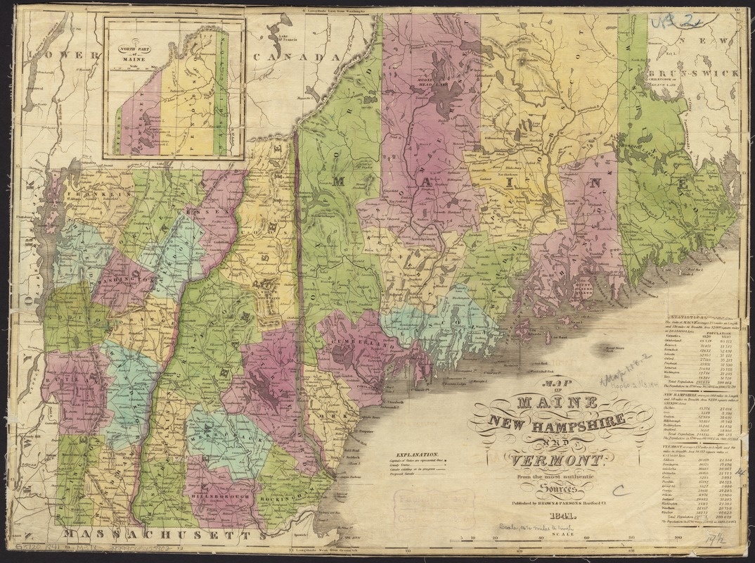
- Title:
- Map of Maine, New Hampshire and Vermont, from the most authentic sources
- Date:
-
1841
- Format:
-
Maps/Atlases
- Location:
-
Boston Public Library
Norman B. Leventhal Map & Education Center - Collection (local):
-
Norman B. Leventhal Map & Education Center Collection
- Subjects:
-
New England--Maps
Maine--Maps
New Hampshire--Maps
Vermont--Maps
- Places:
-
Maine
New England (area)
Vermont
New Hampshire
- Extent:
- 1 map : hand col. ; 37 x 49 cm.
- Terms of Use:
-
No known copyright restrictions.
No known restrictions on use.
- Publisher:
-
Hartfort, Ct :
Brown & Parsons
- Scale:
-
Scale [ca. 1:1,350,000]
- Language:
-
English
- Notes:
-
Relief shown by hachures.
Prime meridians: Washington and Greenwich.
Inset: North part of Maine.
Includes statistical table.
- Identifier:
-
06_01_008660
- Call #:
-
G3720 1841 .M37x
- Barcode:
-
39999065655902


