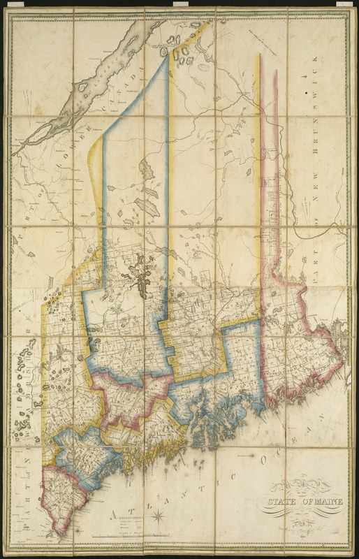
Map of the state of Maine
Item Information
- Title:
- Map of the state of Maine
- Creator:
- Greenleaf, Moses, 1777-1834
- Name on Item:
-
from the latest and best authorities by Moses Greenleaf, esqr. ; engraved by W.B. Annin, Boston.
- Date:
-
1820
- Format:
-
Maps/Atlases
- Location:
-
Boston Public Library
Norman B. Leventhal Map & Education Center - Collection (local):
-
Norman B. Leventhal Map & Education Center Collection
- Subjects:
-
Maine--Maps
Maine--Administrative and political divisions--Maps
- Places:
-
Maine
- Extent:
- 1 map : hand col. ; 102 x 65 cm.
- Terms of Use:
-
No known copyright restrictions.
No known restrictions on use.
- Publisher:
-
[Boston] :
M. Greenleaf
- Scale:
-
Scale [ca. 1:550,000]
- Language:
-
English
- Notes:
-
Relief shown by hachures.
Shows minor civil divisions.
Prime meridians: Washington and London.
- Identifier:
-
06_01_004061
- Call #:
-
G3730 1820 .G74
- Barcode:
-
39999059022440
- LCCN:
-
99462700


