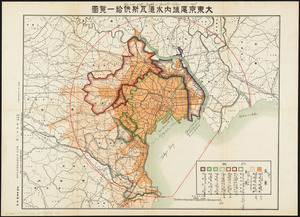
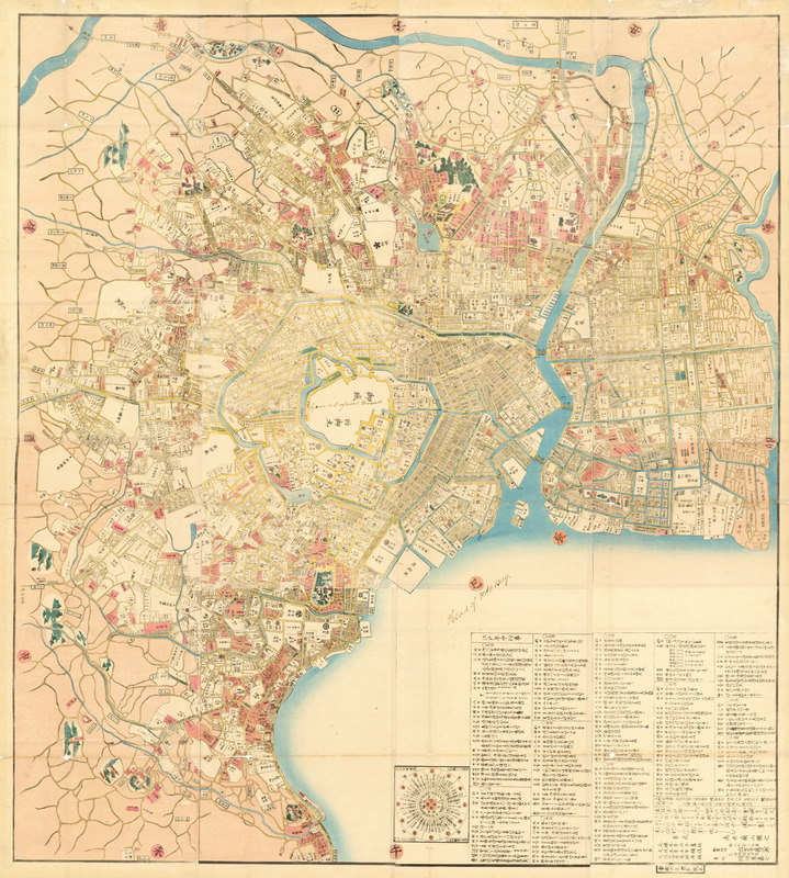
Kaisei On’edo oezu
Item Information
- Title:
- Kaisei On’edo oezu
- Title (alt.):
-
Revised large map of Edo
- Description:
-
Japan’s late Edo period (1615-1868) saw a growing interest in the pursuit of “Western learning,” including map making. As a result, many Japanese city and town maps, like this one, were produced for general consumption during the eighteenth and nineteenth centuries. This map of Edo, before it was renamed Tokyo in 1868, depicts the city in a detailed and systematic fashion. Significant information about the city is explained in two cartouches. The smaller cartouche, a type of compass rose, is entitled “Directions and traveling routes in Edo.” The compass rose indicates how the city is divided in twelve directions, with the Imperial Palace at the center. Each direction is indicated both on the compass rose and on the perimeter of the image of the city, itself. The cartouche explains what people might have seen as they walked in each direction. The larger cartouche is titled “Events and Festivals around Edo,” and provides a list of seasonal events and their locations, according to the Lunar calendar, for each day of the year.
- Cartographer:
- Takai, Ranzan, 1762-1838
- Publisher:
- Suharaya Mohē zōhan
- Name on Item:
-
Takai Ranzan
- Date:
-
[1859]
- Format:
-
Maps/Atlases
- Location:
- MacLean Collection Map Library
- Collection (local):
-
MacLean Collection Map Library
- Subjects:
-
Tokyo (Japan)--Maps
- Places:
-
JapanTokyo
- Extent:
- 1 map : color ; 122 cm x 134 cm
- Terms of Use:
-
Public Domain/No known restrictions on use. Contact host institution to download image.
Contact host institution for more information.
- Publisher:
-
Japan :
Suharaya Mohē zōhan
- Scale:
-
Scale [ca. 1:10,000]
- Language:
-
Japanese
- Notes:
-
Oriented with north to the right.
Cadastral map showing land ownership.
Shows important buildings, family crests, and points of interest.
Wood block print.
Includes distance chart and day by day listing of events in Edo for 1859.
- Notes (date):
-
This date is inferred.
- Identifier:
-
MacLeanColl_29885_Edo
- Call #:
-
29885