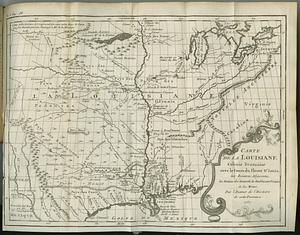
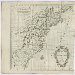
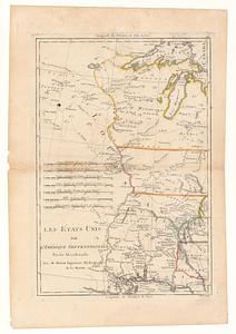
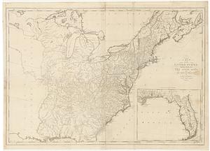
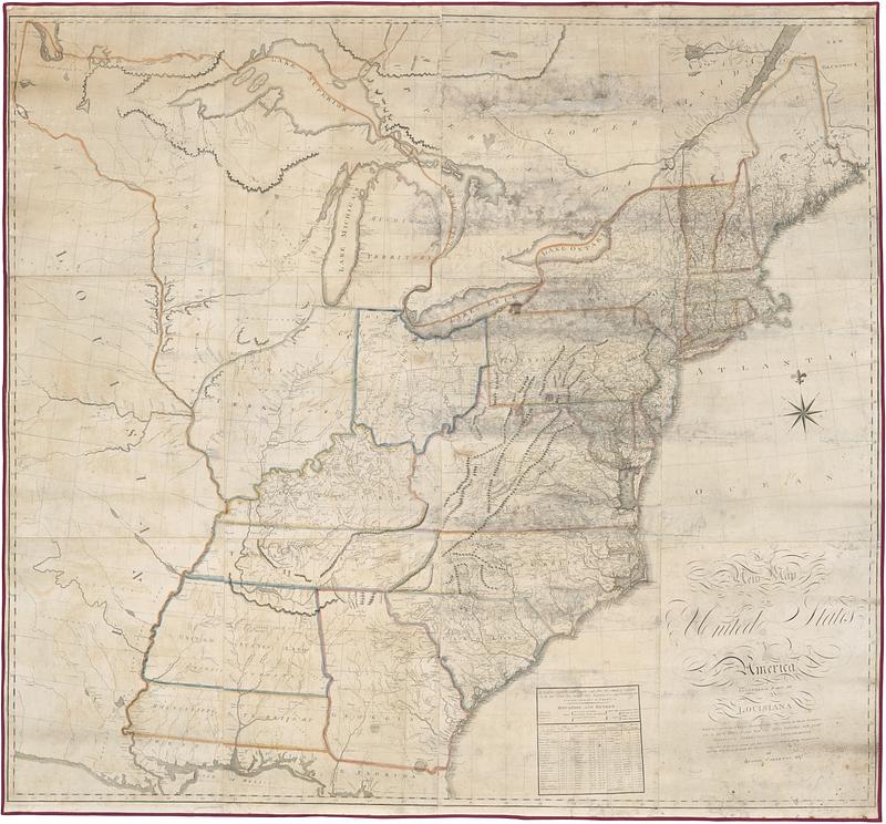
A new map of the United States of America including part of Louisiana : part of Canada & of East Florida and the whole of West Florida on a much larger scale than any before published, with great additions, corrections, and improvements : exhibiting all the post towns with their respective distances from Washington and the post roads through the several states
Item Information
- Title:
- A new map of the United States of America including part of Louisiana : part of Canada & of East Florida and the whole of West Florida on a much larger scale than any before published, with great additions, corrections, and improvements : exhibiting all the post towns with their respective distances from Washington and the post roads through the several states
- Cartographer:
- Carleton, Osgood, 1742-1816
- Name on Item:
-
by Osgood Carleton esqr.
- Date:
-
[ca. 1808]
- Format:
-
Maps/Atlases
- Location:
- MacLean Collection Map Library
- Collection (local):
-
MacLean Collection Map Library
- Subjects:
-
United States--Maps
- Places:
-
- Extent:
- 1 map : hand color ; 154 x 166 cm
- Terms of Use:
-
Public Domain/No known restrictions on use. Contact host institution to download image.
Contact host institution for more information.
- Publisher:
-
Boston :
Osgood Carleton
- Language:
-
English
- Notes:
-
Relief shown pictorially.
Includes table of state and town statistics.
- Identifier:
-
MC21169_Carleton_US_1808
- Call #:
-
21169