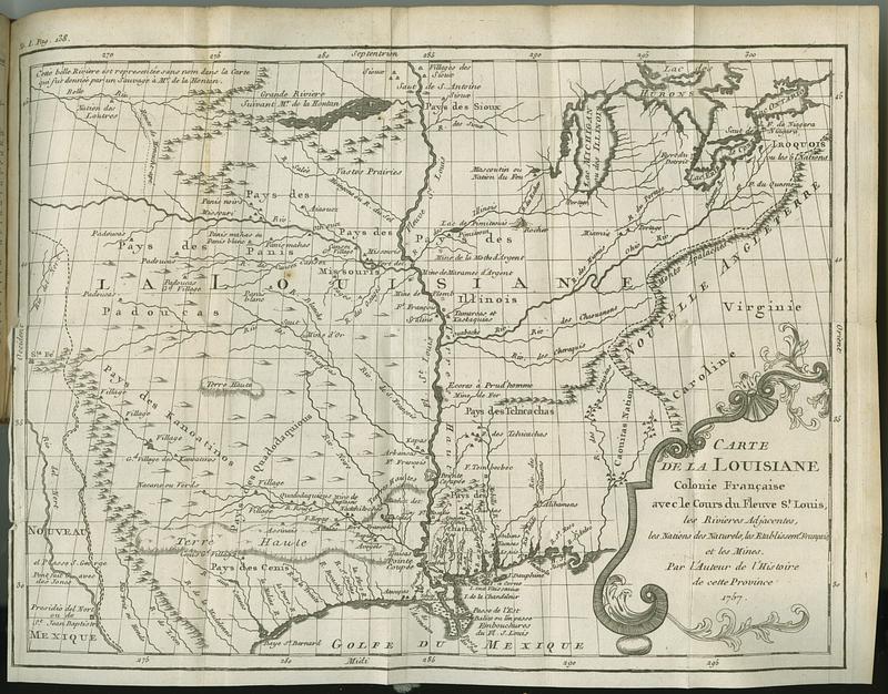
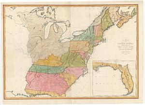
Carte de la Louisiane colonie francaise avec le cours du fleuve St. Louis, les rivieres adjacentes, les nations des naturels, les etablissems. francais, et les mines
This map is also available in American Revolutionary Geographies Online (ARGO), a collections portal especially built for material relating to the American Revolutionary War Era. Visit ARGO to learn more about this item and explore the historical geography of North America in the late eighteenth century.
Item Information
- Title:
- Carte de la Louisiane colonie francaise avec le cours du fleuve St. Louis, les rivieres adjacentes, les nations des naturels, les etablissems. francais, et les mines
- Contributor:
- Le Page du Pratz, -1775
- Publisher:
- Bure
- Name on Item:
-
par l'auteur de l'histoire de cette province
- Date:
-
1758
- Format:
-
Maps/Atlases
- Location:
- MacLean Collection Map Library
- Collection (local):
-
MacLean Collection Map Library
- Subjects:
-
United States--Maps
- Places:
-
United States
- Extent:
- 2 maps ; 285 x 362 mm and 171 x 210 mm
- Terms of Use:
-
Public Domain/No known restrictions on use. Contact host institution to download image.
Contact host institution for more information.
- Publisher:
-
Paris :
de Bure [et al]
- Language:
-
French
- Notes:
-
In Histoire de la Louisiane: contenant la découverte de ce vaste pays sa defcription géographique (Paris: Chez de Bure, l'Aine, 1758).
- Identifier:
-
MC_3097
- Call #:
-
3097
 IIIF Manifest