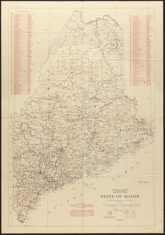
State of Maine
Item Information
- Title:
- State of Maine
- Cartographer:
- Maine. Water Power Commission
- Cartographer:
- Geological Survey (U.S.)
- Name on Item:
-
U.S. Geological survey ; overprint by Maine Water Power Commission
- Date:
-
1923
- Format:
-
Maps/Atlases
- Location:
-
Boston Public Library
Norman B. Leventhal Map & Education Center - Collection (local):
-
Norman B. Leventhal Map & Education Center Collection
- Subjects:
-
Water-power--Maine--Maps
Hydroelectric power plants--Maine--Maps
Maine--Maps
- Places:
-
Maine
- Extent:
- 1 map : col. ; 100 x 68 cm.
- Terms of Use:
-
No known copyright restrictions.
No known restrictions on use.
- Publisher:
-
Augusta, Maine :
Maine Water Power Commission
- Scale:
-
Scale 1:500,000
- Projection:
- Modified polyconic projection
- Language:
-
English
- Notes:
-
Base map compiled by U.S. Geological Survey, 1921 and 1922.
Shows developed and undeveloped power sites.
Includes list of "Developed water powers" and diagram showing relation to 1:1,000,000 map of the world.
"Preliminary edition."
- Identifier:
-
06_01_016811
- Call #:
-
G3731.N33 1923 .M35
- Barcode:
-
39999065662031


