Search Constraints
Search Results


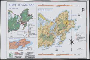
203. Views of Cape Ann


216. James Hayes Park


220. We must have order


237. Shawmut Avenue

238. Hancock Woods EGA

239. Conceptual plan


244. Conceptual plan


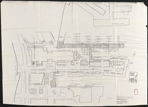
248. Downtown Boston


261. Plan for Boston


263. Union Park


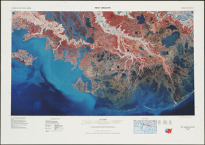
273. New Orleans


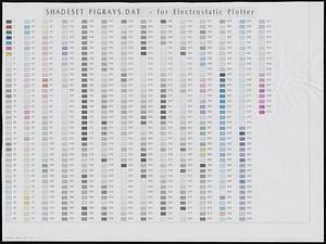
277. Shadesets

278. Southern Asia


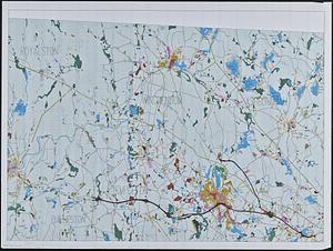
285. British Isles


290. Whale chart