Ruggles Center : site area diagram
Item Information
- Title:
- Ruggles Center : site area diagram
- Description:
-
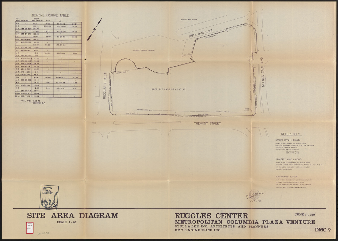
Map of the Ruggles Center development project area in Boston's Roxbury neighborhood depicting the boundaries and property line of the development site.
- Publisher:
- Metropolitan/Columbia Plaza Venture
- Cartographer:
- DMC Engineering, Inc.
- Cartographer:
- Stull and Lee
- Date:
-
June 1, 1989
- Format:
-
Maps/Atlases
- Location:
-
Boston Public Library
Central Library in Copley Square - Collection (local):
-
Boston Public Library Collection
- Subjects:
-
Roxbury (Boston, Mass.)--Maps
City planning--Massachusetts--Boston--Maps
- Places:
-
Suffolk (county)BostonRoxbury
- Extent:
- 1 map ; 76 x 108 cm
- Terms of Use:
-
No known copyright restrictions.
No known restrictions on use.
- Publisher:
-
[Boston] :
Metropolitan Columbia Plaza Venture
- Scale:
-
Scale 1:480
- Language:
-
English
- Catalog Record:
-
http://bpl.bibliocommons.com/item/show/1012647075
- Notes:
-
Also issued as appendix to Application for planned development area for Ruggles Center (BRA/2439)
- Identifier:
-
06_01_017204
- Call #:
-
BRA/4160
- Barcode:
-
39999065843292


