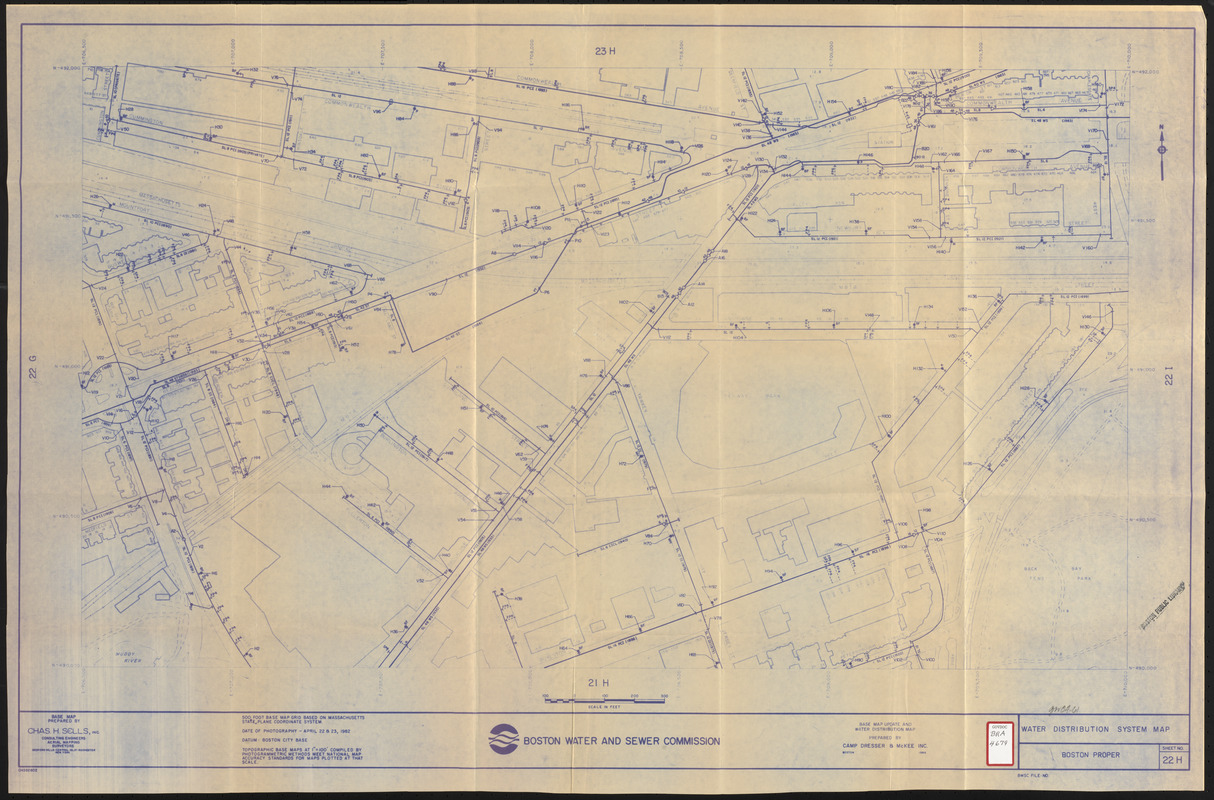
Water distribution system map, Boston proper, sheet no. 22h
Item Information
- Title:
- Water distribution system map, Boston proper, sheet no. 22h
- Description:
-
Map of a portion of Boston's Fenway (Fenway Park, Yawkey Way, MA Turnpike, Newbury Street, Brookline Avenue, Beacon Street, Back Bay Fens Park, Fullerton Street, Burlington Avenue, Overland Street, Park Drive, Commonwealth Avenue area) showing the locations of water mains on a base map prepared by Chas. H. Sells, Inc. Includes foot prints of buildings, names of prominent structures, etc.
- Cartographer:
- Camp, Dresser & McKee
- Publisher:
- Boston (Mass.). Water and Sewer Commission
- Name on Item:
-
prepared by Camp, Dresser & McKee Inc.
- Date:
-
1986
- Format:
-
Maps/Atlases
- Location:
-
Boston Public Library
Central Library in Copley Square - Collection (local):
-
Boston Public Library Collection
- Subjects:
-
Sewerage--Massachusetts--Boston--Maps
Water-pipes--Massachusetts--Boston--Maps
Fenway (Boston, Mass.)--Maps
- Places:
-
Suffolk (county)BostonFens
- Extent:
- 1 map ; 58 x 100 cm
- Terms of Use:
-
No known copyright restrictions.
No known restrictions on use.
- Publisher:
-
Boston :
Boston Water and Sewer Commission
- Scale:
-
Scale approximately 1:1,200
- Language:
-
English
- Catalog Record:
-
http://bpl.bibliocommons.com/item/show/1029434075
- Identifier:
-
06_01_017178
- Call #:
-
BRA/4679
- Barcode:
-
39999065853739


