Massachusetts shoreline change summary map
Item Information
- Title:
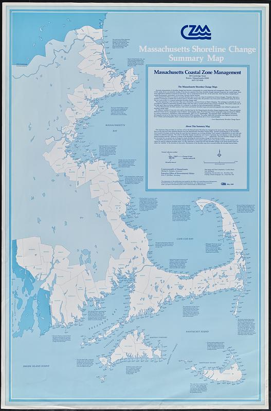
- Massachusetts shoreline change summary map
- Cartographer:
- Harris, Cynthia, 1957-
- Issuing body:
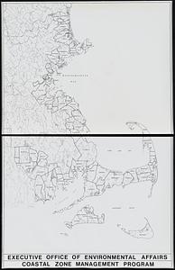
- Massachusetts Coastal Zone Management Office
- Name on Item:
-
map design and data compilation, Cynthia Harris
- Date:
-
[1989]
- Format:
-
Maps/Atlases
- Location:
-
Boston Public Library
Norman B. Leventhal Map & Education Center - Collection (local):
-
David Judkins Weaver Papers
- Subjects:
-
Atlantic Coast (Mass.)--Maps
Shorelines--Massachusetts--Atlantic Coast--Maps
Coast changes--Massachusetts--Atlantic Coast--Maps
- Places:
-
Massachusetts
- Extent:
- 1 map : color ; 97 x 62 cm
- Terms of Use:
-
No known copyright restrictions.
No known restrictions on use.
- Publisher:
-
[Boston] :
Massachusetts Coastal Zone Management
- Scale:
-
Scale approximately 1:211,200
- Language:
-
English
- Notes:
-
"May 1989."
Shows advance or retreat of shoreline in feet at various locations for given time intervals.
Includes text and descriptive notes on shoreline and changes in it.
- Notes (date):
-
This date is inferred.
- Identifier:
-
06_01_018809
- Call #:
-
Weaver folder 12 no. 8