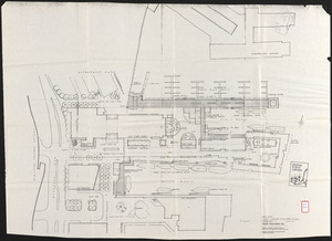
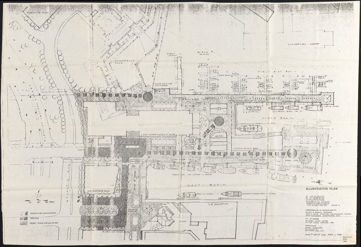
Long Wharf phase II illustrative plan
Item Information
- Title:
- Long Wharf phase II illustrative plan
- Description:
-
Accompanies a report reviewing and evaluating proposed uses for the land and water development as proposed in the Long Wharf Master Plan dated 1980.
- Publisher:
- Boston Redevelopment Authority
- Cartographer:
- Sasaki Associates
- Date:
-
April 1, 1986
- Format:
-
Maps/Atlases
- Location:
-
Boston Public Library
Central Library in Copley Square - Collection (local):
-
Boston Public Library Collection
- Subjects:
-
Waterfronts--Massachusetts--Boston--Maps
Wharves--Massachusetts--Boston--Maps
Long Wharf (Boston, Mass.)--Maps
City planning--Massachusetts--Boston--Maps
- Places:
-
Suffolk (county)Boston
Long Wharf
- Extent:
- 1 map ; 71 x 105 cm
- Terms of Use:
-
No known copyright restrictions.
No known restrictions on use.
- Publisher:
-
Boston :
Boston Revelopment Authority
- Scale:
-
Scale 1:480
- Language:
-
English
- Catalog Record:
-
http://bpl.bibliocommons.com/item/show/1020282075
- Notes:
-
Oriented with north to the upper right.
- Identifier:
-
06_01_017232
- Call #:
-
BRA/913/TASK 2 site plan
- Barcode:
-
39999063149304