Waterfront project, Pierhead Line, Boston, Mass.
Item Information
- Title:
- Waterfront project, Pierhead Line, Boston, Mass.
- Description:
-
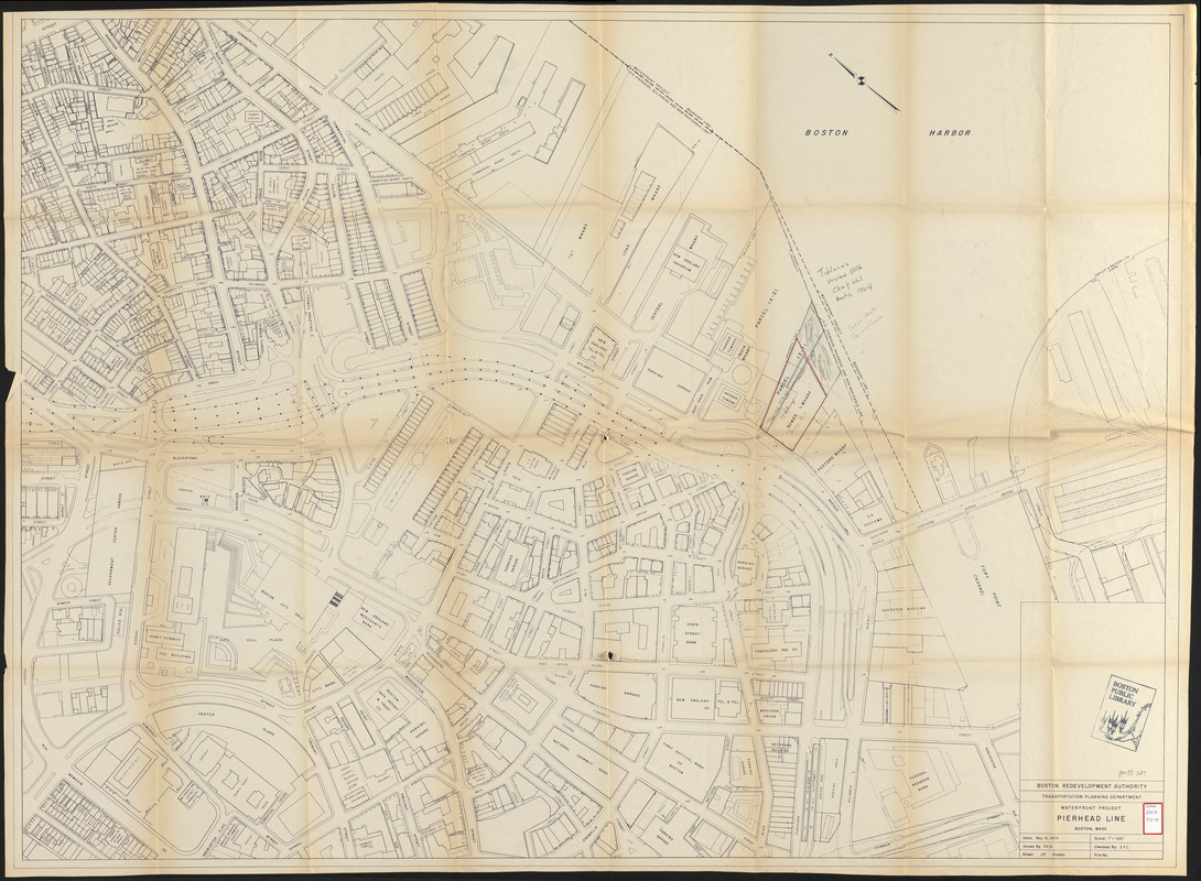
Shows street names, names of major buildings, and the location of parking garages. Rowes Wharf has been outlined in red and there are penciled notations.
- Cartographer:
- Boston Redevelopment Authority
- Date:
-
May 16, 1979
- Format:
-
Maps/Atlases
- Location:
-
Boston Public Library
Central Library in Copley Square - Collection (local):
-
Boston Public Library Collection
- Subjects:
-
Land use--Massachusetts--Boston--Maps
Waterfronts--Massachusetts--Boston--Maps
Wharves--Massachusetts--Boston--Maps
Boston (Mass.)--Maps
City planning--Massachusetts--Boston--Maps
- Places:
-
Suffolk (county)Boston
- Extent:
- 1 map ; 101 x 137 cm
- Terms of Use:
-
No known copyright restrictions.
No known restrictions on use.
- Publisher:
-
[Boston] :
Boston Revelopment Authority
- Scale:
-
Scale 1:1,200
- Language:
-
English
- Catalog Record:
-
http://bpl.bibliocommons.com/item/show/1034740075
- Notes:
-
Oriented with north to the upper left.
- Identifier:
-
06_01_017251
- Call #:
-
BRA/3214
- Barcode:
-
39999065833848


