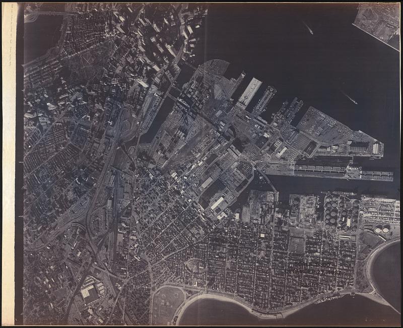
Aerial photograph of South Boston
Item Information
- Title:
- Aerial photograph of South Boston
- Date:
-
1987
- Format:
-
Maps/Atlases
- Genre:
-
Aerial photographs
- Location:
-
Boston Public Library
Norman B. Leventhal Map & Education Center - Collection (local):
-
Norman B. Leventhal Map & Education Center Collection
- Series:
- Boston Redevelopment Authority Maps & Manuscript Plans Collection
- Subjects:
-
South Boston (Boston, Mass.)--Aerial views
- Places:
-
MassachusettsSuffolk (county)BostonSouth Boston
- Extent:
- 1 aerial photograph ; 108 x 128 cm
- Terms of Use:
-
No known copyright restrictions.
No known restrictions on use.
- Place of origin:
-
[Boston]
- Scale:
-
Scale approximately 1:3,500
- Language:
-
English
- Notes:
-
Shows South Boston and parts of South End, Back Bay, Beacon Hill, Chinatown and Downtown Boston.
Oriented with north towards the upper right.
Scale given as 1"=300'. Actual scale is approximately 1:3,500.
"December 21, 1987."
"23SBT."
- Identifier:
-
06_01_017895
- Call #:
-
BRA MAP FOLDER 32 no.7
- Barcode:
-
30000007765406


