FPIR/FEIR Olmsted Plaza : a redevelopment of the Sears property, 309 Park Drive/201 Brookline Avenue in the Fenway

Item Information
- Title:
- FPIR/FEIR Olmsted Plaza : a redevelopment of the Sears property, 309 Park Drive/201 Brookline Avenue in the Fenway
- Description:
-
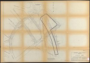
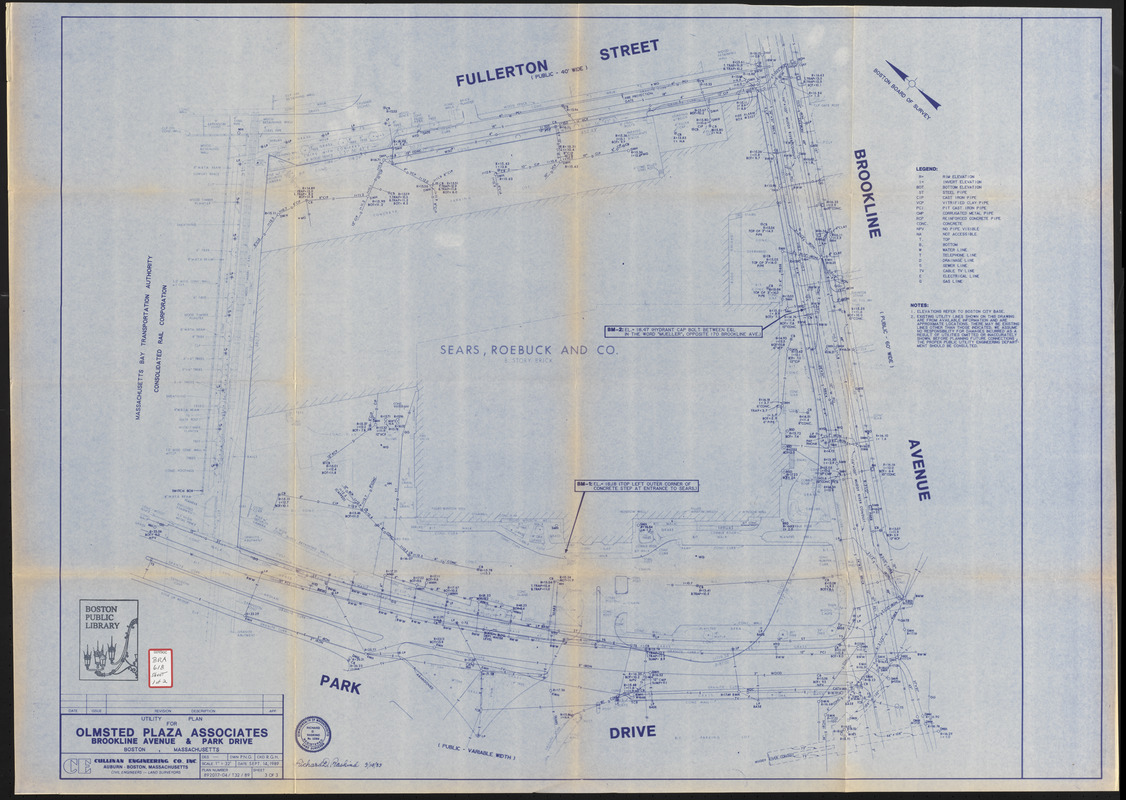
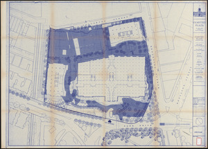
Maps accompanying a report analyzing the Olmsted Plaza project, a large mixed-use development to be undertaken in the Fenway district of Boston that entails renovating the former Sears Roebuck and Co. distribution facility and constructing two new commercial building and parking facilities. Utility plan shows elevations, pipes, and utility lines. Site plan shows 100 year flood elevation.
- Cartographer:
- Olmsted Plaza Associates
- Date:
-
September 14, 1989
- Format:
-
Maps/Atlases
- Location:
-
Boston Public Library
Central Library in Copley Square - Collection (local):
-
Boston Public Library Collection
- Subjects:
-
Landmark Center (Boston, Mass.)--Maps
Fenway (Boston, Mass.)--Maps
City planning--Massachusetts--Boston--Maps
Underground utility lines--Massachusetts--Boston--Maps
- Places:
-
Suffolk (county)BostonFens
- Extent:
- 2 maps ; sheets 75 x 96 cm
- Terms of Use:
-
No known copyright restrictions.
No known restrictions on use.
- Publisher:
-
Boston :
Olmsted Plaza Associates Inc.
- Scale:
-
Scale 1:384
- Language:
-
English
- Table of Contents:
-
Utility plan for Olmsted Plaza Associates, Brookline Avenue & Park Drive, Boston, Massachusetts
Olmsted Plaza site plan
- Catalog Record:
-
http://bpl.bibliocommons.com/item/show/1028644075
- Notes:
-
Oriented with north to the upper left.
- Identifier:
-
06_01_017234A
06_01_017234B
- Call #:
-
BRA/618 sheet 1
BRA/618 sheet 2
- Barcode:
-
39999063144800