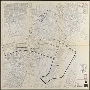
Zoning districts, city of Boston

Item Information
- Title:
- Zoning districts, city of Boston
- Issuing body:
- Boston Zoning Commission
- Date:
-
[1989]
- Format:
-
Maps/Atlases
- Location:
-
Boston Public Library
Norman B. Leventhal Map & Education Center - Collection (local):
-
Norman B. Leventhal Map & Education Center Collection
- Subjects:
-
Boston (Mass.)--Maps
Zoning--Massachusetts--Boston--Maps
- Places:
-
MassachusettsSuffolk (county)Boston
- Extent:
- 14 maps ; 43 x 65 cm or smaller
- Terms of Use:
-
No known copyright restrictions.
No known restrictions on use.
- Publisher:
-
[Boston, Mass.] :
Zoning Commission
- Scale:
-
Scales differ
- Language:
-
English
- Table of Contents:
-
1. Boston proper
1A. Midtown Cultural District
2. Charlestown; 2A. Boston Harbor
3. East Boston
4. South Boston
5. North Dorchester
6. Roxbury
7. Brighton
8. South Dorchester
8A. Port Norfolk Neighborhood District
9. Jamaica Plain
10. Roslindale
11. West Roxbury
12. Hyde Park
- Notes:
-
Maps dated August 15, 1962, except 1A dated March 16, 1989 and 8A dated July 15, 1988.
"Date of map August 15, 1962 adopted by the Zoning Commission of the City of Boston in meeting on Aug. 15, 1962."
- Notes (date):
-
This date is inferred.
- Identifier:
-
06_01_016940
06_01_016941
06_01_016942
06_01_016943
06_01_016944
06_01_016945
06_01_016946
06_01_016947
06_01_016948
06_01_016949
06_01_016950
06_01_016951
06_01_016952
06_01_016953
- Call #:
-
G3764.B6G44 1989 .B67
- Barcode:
-
39999085944443