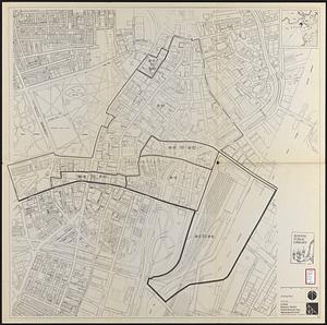
Zoning districts, city of Boston

Item Information
- Title:
- Zoning districts, city of Boston
- Cartographer:
- Boston Zoning Commission
- Date:
-
1962
- Format:
-
Maps/Atlases
- Location:
-
Boston Public Library
Norman B. Leventhal Map & Education Center - Collection (local):
-
Norman B. Leventhal Map & Education Center Collection
- Subjects:
-
Boston (Mass.)--Maps
Zoning--Massachusetts--Boston--Maps
- Places:
-
MassachusettsSuffolk (county)Boston
- Extent:
- 12 maps ; 43 x 65 cm or smaller
- Terms of Use:
-
No known copyright restrictions.
No known restrictions on use.
- Publisher:
-
[Boston, Mass.] :
Zoning Commission
- Scale:
-
Scale 1:9,600
- Language:
-
English
- Table of Contents:
-
Boston proper
Charlestown/Boston Harbor
East Boston
South Boston
North Dorchester
Roxbury
Brighton
South Dorchester
Jamaica Plain
Roslindale
West Roxbury
Hyde Park
- Notes:
-
"Date of map August 15, 1962 adopted by the Zoning Commission of the City of Boston in meeting on Aug. 15, 1962."
- Identifier:
-
06_01_016916
06_01_016917
06_01_016918
06_01_016919
06_01_016920
06_01_016921
06_01_016922
06_01_016923
06_01_016924
06_01_016925
06_01_016926
06_01_016927
- Call #:
-
G3764.B6G44 1962 .B67x
- Barcode:
-
39999059011948