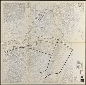
Zoning districts, city of Boston

Item Information
- Title:
- Zoning districts, city of Boston
- Cartographer:
- Boston Zoning Commission
- Date:
-
1981
- Format:
-
Maps/Atlases
- Location:
-
Boston Public Library
Norman B. Leventhal Map & Education Center - Collection (local):
-
Norman B. Leventhal Map & Education Center Collection
- Subjects:
-
Boston (Mass.)--Maps
Zoning--Massachusetts--Boston--Maps
- Places:
-
MassachusettsSuffolk (county)Boston
- Extent:
- 12 maps ; 43 x 65 cm or smaller
- Terms of Use:
-
No known copyright restrictions.
No known restrictions on use.
- Publisher:
-
[Boston, Mass.] :
Zoning Commission
- Scale:
-
Scale 1:9,600
- Language:
-
English
- Table of Contents:
-
Boston proper
Charlestown/Boston Harbor
East Boston
South Boston
North Dorchester
Roxbury
Brighton
South Dorchester
Jamaica Plain
Roslindale
West Roxbury
Hyde Park
- Notes:
-
"Date of map August 15, 1962 adopted by the Zoning Commission of the City of Boston in meeting on Aug. 15, 1962."
Accompanied by letter stating "Effective August 20, 1981 ... The Zoning Commission of the City of Boston, acting under Chapter 665 of the Acts of 1956 as amended, after due report, notice and hearing. does hereby amend Map 1 - Boston proper, of the series of maps entitled "Zoning Districts - City of Boston dated August 15, 1962 ..."
- Identifier:
-
06_01_016928
06_01_016929
06_01_016930
06_01_016931
06_01_016932
06_01_016933
06_01_016934
06_01_016935
06_01_016936
06_01_016937
06_01_016938
06_01_016939
- Call #:
-
G3764.B6G44 1981 .B67x
- Barcode:
-
39999059011955