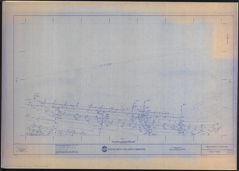
Wastewater system map, Boston proper, sheet no. 23h
Item Information
- Title:
- Wastewater system map, Boston proper, sheet no. 23h
- Description:
-
Map of the area around Boston University in Boston's Fenway neighborhood showing the location of sewers.
- Cartographer:
- Metcalf & Eddy
- Publisher:
- Boston (Mass.). Water and Sewer Commission
- Name on Item:
-
wastewater system map prepared by Metcalf & Eddy Inc.
- Date:
-
[ca. 1986]
- Format:
-
Maps/Atlases
- Location:
-
Boston Public Library
Norman B. Leventhal Map & Education Center - Collection (local):
-
Norman B. Leventhal Map & Education Center Collection
- Series:
- Boston Redevelopment Authority Maps & Manuscript Plans Collection
- Subjects:
-
Sewerage--Massachusetts--Boston--Maps
Fenway (Boston, Mass.)--Maps
- Places:
-
MassachusettsSuffolk (county)BostonFens
- Extent:
- 1 map ; 51 x 89 cm, on sheet 76 x 107 cm
- Terms of Use:
-
No known copyright restrictions.
No known restrictions on use.
- Publisher:
-
Boston :
Boston Water and Sewer Commission
- Scale:
-
Scale approximately 1:1,200
- Language:
-
English
- Notes:
-
Base map prepared by Chas. H. Sells, Inc.
Also shows building footprints.
"Last sequence no. 119."
"Date of photography - April 22 & 23, 1982."
"CHS82802."
- Identifier:
-
06_01_017901
- Call #:
-
BRA MAP FOLDER 33 no.2
- Barcode:
-
30000007747804


