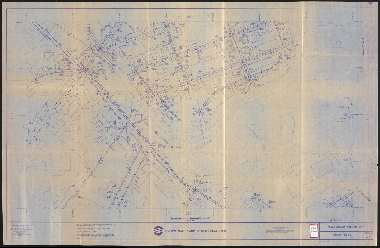
Wastewater system map, Boston proper, sheet no. 21h
Item Information
- Title:
- Wastewater system map, Boston proper, sheet no. 21h
- Description:
-
Map of a portion of Boston's Fenway (Simmons College, Gardner Museum, Emmanuel College, Museum of Fine Arts, Peterborough and Queensberry Streets, Park Drive, Muddy River, Back Bay / Fens Park, etc. area) showing the location of sewers on a base map prepared by Chas H. Sells, Inc. Includes foot prints of buildings and names of prominent structures, etc.
- Cartographer:
- Metcalf & Eddy
- Publisher:
- Boston (Mass.). Water and Sewer Commission
- Name on Item:
-
prepared by Metcalf & Eddy, Inc.
- Date:
-
[ca. 1986]
- Format:
-
Maps/Atlases
- Location:
-
Boston Public Library
Central Library in Copley Square - Collection (local):
-
Boston Public Library Collection
- Subjects:
-
Sewerage--Massachusetts--Boston--Maps
Fenway (Boston, Mass.)--Maps
- Places:
-
Suffolk (county)BostonFens
- Extent:
- 1 map ; 59 x 100 cm
- Terms of Use:
-
No known copyright restrictions.
No known restrictions on use.
- Publisher:
-
Boston :
Boston Water and Sewer Commission
- Scale:
-
Scale approximately 1:1,200
- Language:
-
English
- Catalog Record:
-
http://bpl.bibliocommons.com/item/show/1029471075
- Identifier:
-
06_01_017179
- Call #:
-
BRA/4678
- Barcode:
-
39999065853721


