Search Constraints
Search Results


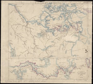
33. Northern America


35. Whale chart


41. Whale chart

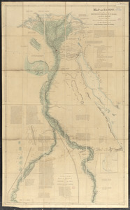
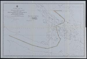
43. Map of Egypt
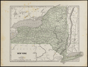
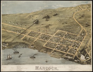
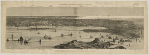
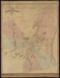
44. New York


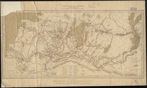
![Wind and current chart of the North Atlantic [sheet 1]](https://bpldcassets.blob.core.windows.net/derivatives/images/commonwealth:jh344151t/image_thumbnail_300.jpg)


67. Denmark

68. England

69. France

70. Germany


72. Ireland

73. Italy

74. Prussia

75. Russia

76. Scotland

77. Spain & Portugal

78. Wales


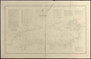
86. Lake Ontario
90. Carte du Mexique