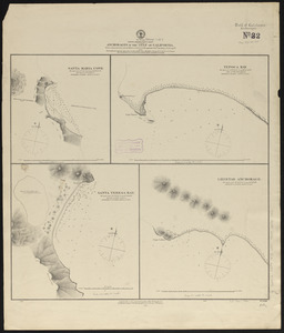
North America, west coast, lower California, western shore of the Gulf of California, from Sn. Marcial Pt. to Sn. Basilio Bay
Item Information
- Title:
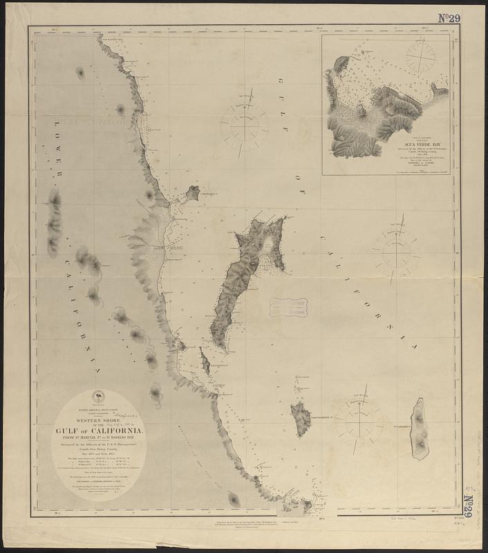
- North America, west coast, lower California, western shore of the Gulf of California, from Sn. Marcial Pt. to Sn. Basilio Bay
- Issuing body:
- United States. Hydrographic Office
- Name on Item:
-
surveyed by the officers of the U.S.S. Narragansett, Comdr. Geo. Dewey, comdg., Nov. 1873 and Feby. 1875
- Date:
-
[1888]
- Format:
-
Maps/Atlases
- Genre:
-
Nautical charts
- Location:
-
Boston Public Library
Norman B. Leventhal Map & Education Center - Collection (local):
-
Norman B. Leventhal Map & Education Center Collection
- Subjects:
-
California, Gulf of (Mexico)--Maps
Agua Verde Bay (Mexico)--Maps
Nautical charts--Mexico--California, Gulf of
Nautical charts--Mexico--Agua Verde Bay
- Places:
-
MexicoBaja California SurAgua Verde, Bahía (bay)
- Extent:
- 1 map ; 72 x 62 cm
- Terms of Use:
-
No known copyright restrictions.
No known restrictions on use.
- Publisher:
-
Washington, D.C. :
Hydrographic Office
- Edition:
- Edition of January 1888
- Scale:
-
Scale approximately 1:147,000
- Language:
-
English
- Notes:
-
Relief shown by hachures and spot heights. Depths shown by soundings.
Inset: Agua Verde Bay.
- Notes (date):
-
This date is inferred.
- Identifier:
-
06_01_017439
- Call #:
-
G9096.P5 svar .U55 no. 850
- Barcode:
-
39999085958955