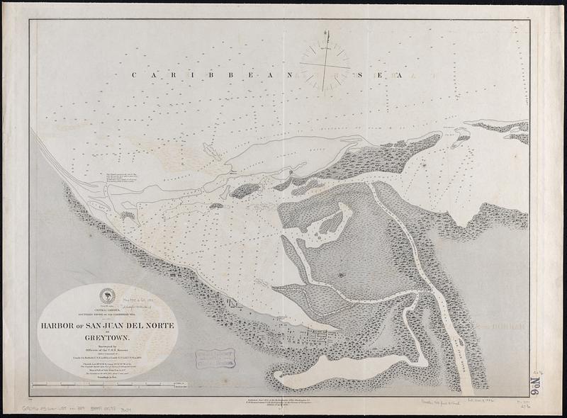
Central-America, southern shore of the Caribbean Sea, harbor of San Juan del Norte or Greytown
Item Information
- Title:
- Central-America, southern shore of the Caribbean Sea, harbor of San Juan del Norte or Greytown
- Issuing body:
- United States. Hydrographic Office
- Name on Item:
-
surveyed by officers of the U.S.S. Kansas under command of Comdr. Ch. Hatfield, U.S.N. in 1872, & Comdr. E.P. Lull, U.S.N. in 1873
- Date:
-
[1888]
- Format:
-
Maps/Atlases
- Genre:
-
Nautical charts
- Location:
-
Boston Public Library
Norman B. Leventhal Map & Education Center - Collection (local):
-
Norman B. Leventhal Map & Education Center Collection
- Subjects:
-
San Juan del Norte Bay (Nicaragua)--Maps
Navigation--Nicaragua--San Juan del Norte Bay
- Places:
-
NicaraguaRío San Juan
Bahía San Juan del Norte
- Extent:
- 1 map ; 53 x 71 cm
- Terms of Use:
-
No known copyright restrictions.
No known restrictions on use.
- Publisher:
-
Washington, D.C. :
Hydrographic Office
- Edition:
- Edition of April 1888
- Scale:
-
Scale approximately 1:9,200
- Language:
-
English
- Notes:
-
Depths shown by soundings.
- Notes (date):
-
This date is inferred.
- Identifier:
-
06_01_017074
- Call #:
-
G9096.P5 svar .U55 no.389
- Barcode:
-
39999085953634


