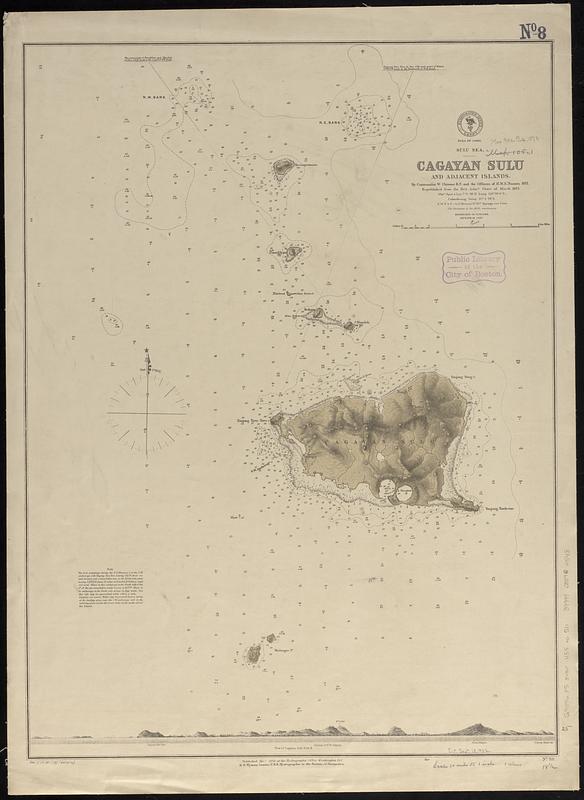
Sulu Sea, Cagayan Sulu and adjacent islands
Item Information
- Title:
- Sulu Sea, Cagayan Sulu and adjacent islands
- Issuing body:
- United States. Hydrographic Office
- Cartographer:
- Chimmo, William, 1828-1891
- Name on Item:
-
by Commander W. Chimmo R.N. and the officers of H.M.S. Nassau, 1871 ; republished from the Brit. Admty. chart of March 1873
- Date:
-
[1878]
- Format:
-
Maps/Atlases
- Genre:
-
Nautical charts
- Location:
-
Boston Public Library
Norman B. Leventhal Map & Education Center - Collection (local):
-
Norman B. Leventhal Map & Education Center Collection
- Subjects:
-
Cagayan Sulu Island (Philippines)--Maps
Nautical charts--Philippines--Cagayan Sulu Island
- Places:
-
PhilippinesPalawan (province)Cagayan Sulu Island (island)
- Extent:
- 1 map ; 64 x 47 cm
- Terms of Use:
-
No known copyright restrictions.
No known restrictions on use.
- Publisher:
-
Washington, D.C. :
Hydrographic Office
- Scale:
-
Scale approximately 1:75,500
- Language:
-
English
- Notes:
-
Relief shown by hachures and spot heights. Depths shown by soundings and isolines.
Includes view of the island and note.
"Cor. (17.III.78)(85.XII'78)."
- Notes (date):
-
This date is inferred.
- Identifier:
-
06_01_017542
- Call #:
-
G9096.P5 svar .U55 no. 511
- Barcode:
-
39999085960548


