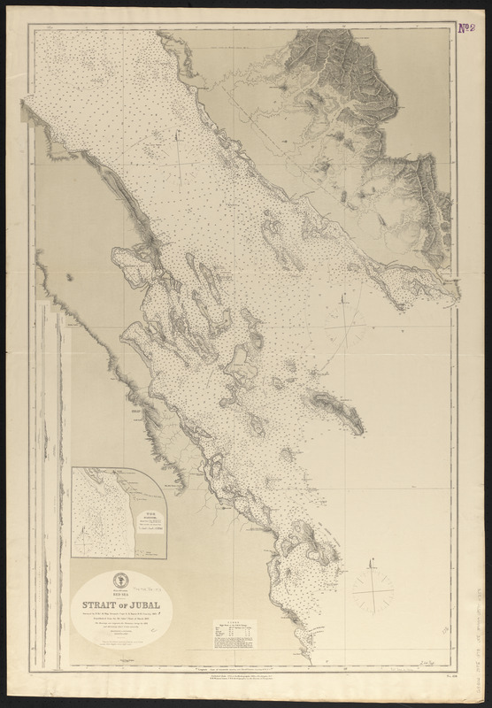
Red Sea, Strait of Jubal
Item Information
- Title:
- Red Sea, Strait of Jubal
- Title (alt.):
-
Strait of Jubal
- Issuing body:
- United States. Hydrographic Office
- Surveyor:
- Nares, George S. (George Strong), 1831-1915
- Name on Item:
-
surveyed by H. Brt. M. Ship Newport, Capt. G.S. Nares R.N. com'd'g, 1871-2 ; republished from the Brt. Admty. chart of March, 1873
- Date:
-
1873
- Format:
-
Maps/Atlases
- Location:
-
Boston Public Library
Norman B. Leventhal Map & Education Center - Collection (local):
-
Norman B. Leventhal Map & Education Center Collection
- Subjects:
-
Nautical charts--Egypt--Jubal, Strait of
Jubal, Strait of (Egypt)--Maps
- Places:
-
EgyptAl Baḥr al AḥmarJūbāl, Maḍīq (strait)
- Extent:
- 1 map ; 95 x 63 cm
- Terms of Use:
-
No known copyright restrictions.
No known restrictions on use.
- Publisher:
-
Washington, D.C. :
Hydrographic Office
- Scale:
-
Scale approximately 1:155,000
- Language:
-
English
- Notes:
-
Relief shown by hachures and spot heights. Depths shown by soundings, isolines and pictorially.
Inset: Tor Harbor.
Includes 2 coastal profiles.
- Identifier:
-
06_01_016644
- Call #:
-
G9096.P5 svar .U55
- Barcode:
-
39999085950358


