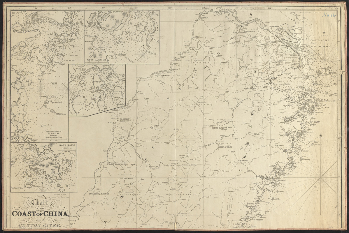
Chart of the coast of China, from the Canton River, to the Yang Tze Keang
Item Information
- Title:
- Chart of the coast of China, from the Canton River, to the Yang Tze Keang
- Cartographer:
- Walker, John, 1786-1873
- Publisher:
- William Houghton Allen & Co.
- Name on Item:
-
by John Walker, geographer to the Honble. East India Company
- Date:
-
1847
- Format:
-
Maps/Atlases
- Location:
-
Boston Public Library
Norman B. Leventhal Map & Education Center - Collection (local):
-
Norman B. Leventhal Map & Education Center Collection
- Subjects:
-
China, Southeast--Maps
- Places:
-
China
- Extent:
- 1 map on 2 sheets ; 126 x 94 cm, on sheets 65 x 98 cm
- Terms of Use:
-
No known copyright restrictions.
No known restrictions on use.
- Publisher:
-
London :
Wm. H. Allen & Co., Leadenhall Street
- Scale:
-
Scale approximately 1:1,020,000
- Language:
-
English
- Notes:
-
North sheet only. Lacking south sheet.
Relief shown by soundings.
Insets: Hong Kong and its anchorage -- Channels leading to Ting-Hae including the Kweshan Islands -- Amoy Harbour -- Harbour of Ting-Hae -- River-Woo-Sung to Shang-Hae -- Killon Harbour and Merope Bay Formosa -- Mouth of the river Woo-Sung leading to Shang-Hae -- Mouth of the Yung-Kiang -- River Min to Fow-Chow-Foo.
- Identifier:
-
06_01_015507
- Call #:
-
G7822.C47 1847 .W35
- Barcode:
-
39999085936712


