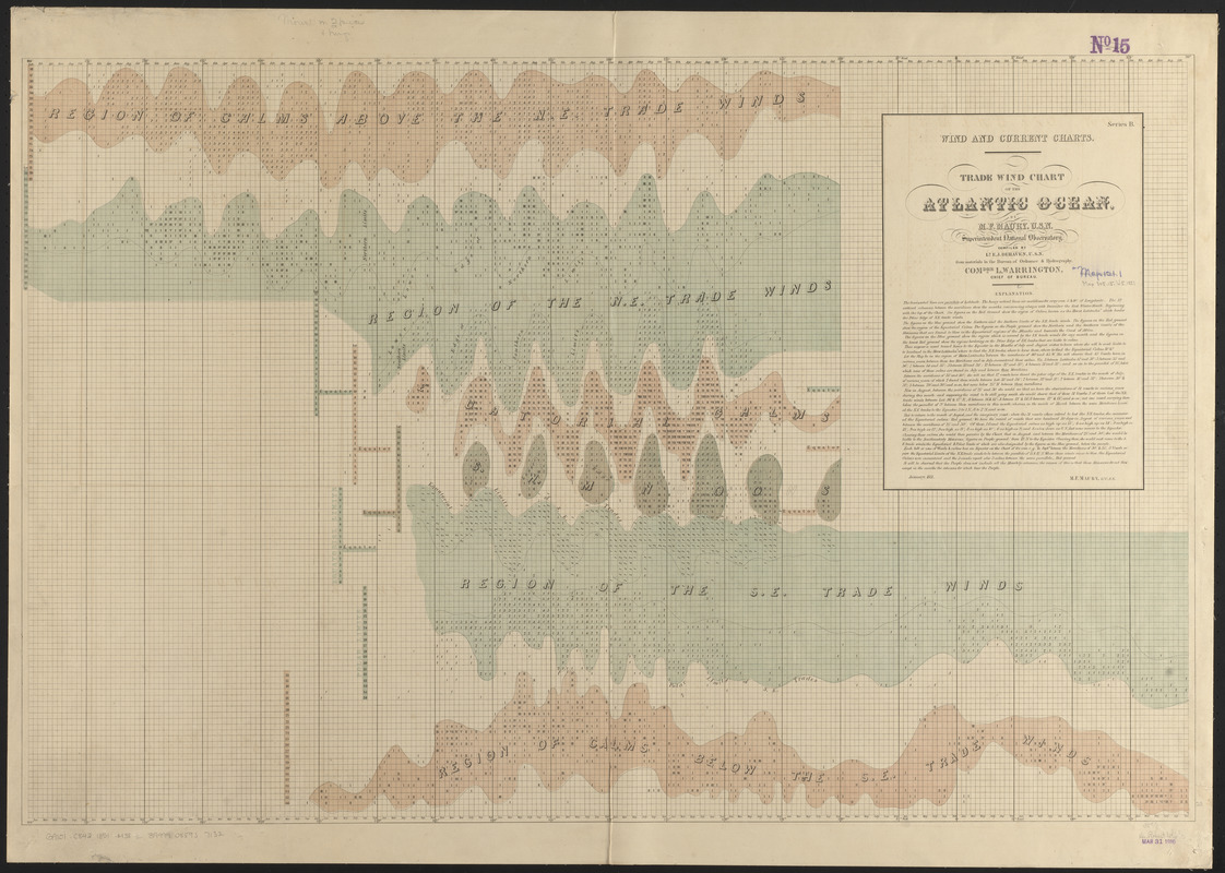
Trade wind chart of the Atlantic Ocean
Item Information
- Title:
- Trade wind chart of the Atlantic Ocean
- Cartographer:
- Maury, Matthew Fontaine, 1806-1873
- Compiler:
- Dehaven, E. J.
- Publisher:
- United States. Hydrographic Office
- Name on Item:
-
by M.F. Maury, U.S.N, Superintendent National Observatory ; compiled by Lt. E.J. Dehaven, U.S.N. from materials in the Bureau of Ordnance and Hydrography, Comdre. L. Warrington, Chief of Bureau
- Date:
-
1851
- Format:
-
Maps/Atlases
- Location:
-
Boston Public Library
Norman B. Leventhal Map & Education Center - Collection (local):
-
Norman B. Leventhal Map & Education Center Collection
- Subjects:
-
Trade winds--Atlantic Ocean--Charts, diagrams, etc
Nautical charts--Atlantic Ocean
Winds--Atlantic Ocean--Charts, diagrams, etc
Atlantic Ocean--Charts, diagrams, etc
- Places:
-
Atlantic Ocean
- Extent:
- 1 map : color ; 59 x 91 cm
- Terms of Use:
-
No known copyright restrictions.
No known restrictions on use.
- Publisher:
-
[Washington, D.C.] :
[United States Hydrographical Office]
- Scale:
-
Scale not given
- Language:
-
English
- Notes:
-
Series B.
The trade wind charts were released as series B a part of Maury's "Wind and current charts", series A-F. Two sheets were produced, one for the Atlantic and the other for the Indian Ocean. For complete discussion, see "The wind and current chart series produced by Matthew Fontaine Maury," by Marc I. Pinsel, in Navigation : Journal of the Institute of Navigation, volume 28, number 2 (Summer, 1981), pages 123-137.
Includes notes.
- Notes (citation):
-
Navigation, volume 18, number 2, pages 123-137
- Identifier:
-
06_01_015442
- Call #:
-
G9101.C842 1851 .M38
- Barcode:
-
39999085937132


