Search Constraints
Search Results


11. Mappe-monde


![Systema ideale quo exprimitur, aquarum per canales hydragogos subterraneos ex mari et in montium hydrophylacia protrusio, aquarumq[ue] subterrestrium per pyragogos canales concoctus](https://bpldcassets.blob.core.windows.net/derivatives/images/commonwealth:n8710p89m/image_thumbnail_300.jpg)
![[The World]](https://bpldcassets.blob.core.windows.net/derivatives/images/commonwealth:9g54xj67p/image_thumbnail_300.jpg)
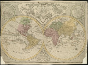
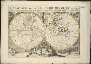
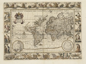
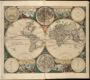
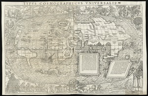
36. [The World]
![[The World]](https://bpldcassets.blob.core.windows.net/derivatives/images/commonwealth:st74cx537/image_thumbnail_300.jpg)
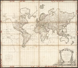
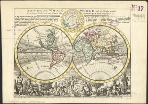
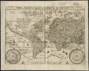
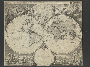
37. [The World]


![[World map]](https://bpldcassets.blob.core.windows.net/derivatives/images/commonwealth:st74cz00d/image_thumbnail_300.jpg)
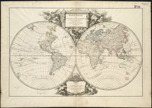
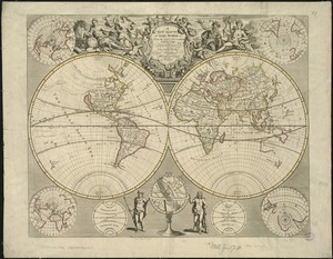
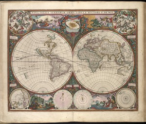
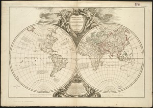
41. [World map]
![[World map]](https://bpldcassets.blob.core.windows.net/derivatives/images/commonwealth:wd3762879/image_thumbnail_300.jpg)
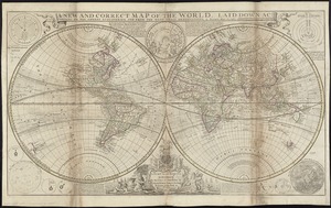
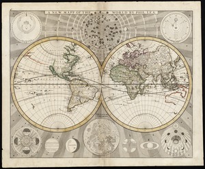
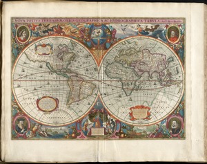
42. [World map]


![Hemispheriu[m] ab aequinoctiali linea, ad circulu[m] Poli Arctici](https://bpldcassets.blob.core.windows.net/derivatives/images/commonwealth:3f462s45p/image_thumbnail_300.jpg)


![Quam hic vides orbis imagine[m] lector ca[n]dide ea[m] ut posteriore[m] ita & eme[n]datiorem ijs que hactenus circu[m]ferebantur esse America sarmatiaq[ue] ac India testantur ... lemei expectato vale](https://bpldcassets.blob.core.windows.net/derivatives/images/commonwealth:3f463b69r/image_thumbnail_300.jpg)


![Tipus orbis uniuersalis iuxta Ptolomei cosmographi traditionem et Americi Vespucii alior[um]que](https://bpldcassets.blob.core.windows.net/derivatives/images/commonwealth:j3860806q/image_thumbnail_300.jpg)
![Tipus orbis uniuersalis iuxta Ptolomei cosmographi traditionem et Americi Vespucii alior[um]que](https://bpldcassets.blob.core.windows.net/derivatives/images/commonwealth:3f463b65n/image_thumbnail_300.jpg)


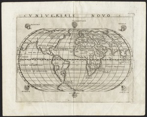
72. Universale novo
![Universalis de terrao orarium ex vera recen [...] traditione](https://bpldcassets.blob.core.windows.net/derivatives/images/commonwealth:hq37vv39x/image_thumbnail_300.jpg)

74. World map

75. World map

76. World map


78. 1630 shoreline


84. 227 Harzgerode

85. 305 Glatz


![[A chart of Boston Bay and vicinity]](https://bpldcassets.blob.core.windows.net/derivatives/images/commonwealth:cj82m2976/image_thumbnail_300.jpg)


