Search Constraints
Search Results


8003. British Isles


8008. China, military regions

8009. Jamaica Pond master plan

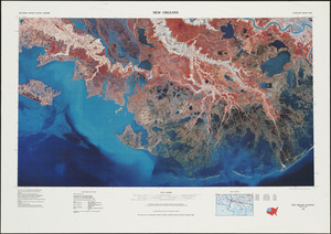
8011. New Orleans

8012. Olmsted Park master plan

8013. The Riverway master plan


8015. Southern Asia


8017. Union Park


8026. Rose F. Kennedy Garden


8033. James Hayes Park


8035. We must have order


8037. 660 Wakulah St., Roxbury


8045. Outline map of Boston


8048. Shadow analysis

8049. Street trees Comm. Ave.


8051. View of the South End


8057. Waterfront skyline


8059. Asia


8062. East Asia


8065. Haiti


8070. Boston shoreline 1630

8071. Boston shoreline 1795

8072. Boston shoreline 1852

8073. Boston shoreline 1880

8074. Boston shoreline 1916

8075. Boston shoreline 1934

8076. Boston shoreline 1950

8077. Boston shoreline 1995


8079. Area plan as of May 1962


8082. Sudan

8083. China

8084. China


8090. Asia

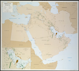
8091. Iraq


8093. Africa


8095. The population map

8096. South America


