Outline map of Boston
Item Information
- Title:
- Outline map of Boston
- Description:
-
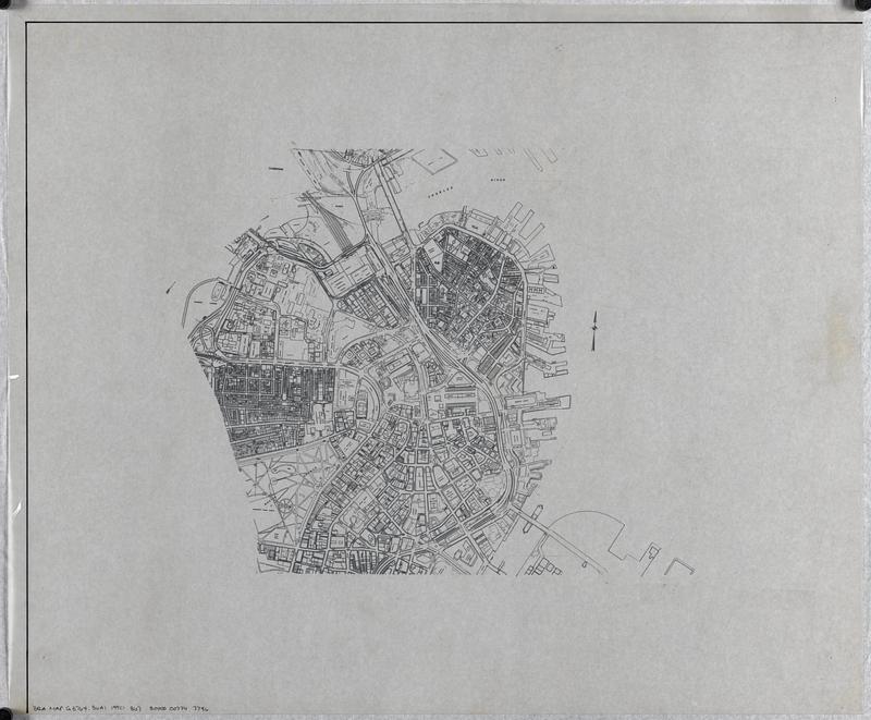
Outline map showing streets, property boundaries, building footprints, railroad tracks and some companies and institutions. Base map printed on verso of translucent mylar sheet, with minor manuscript additions in ink on recto of sheet.
- Cartographer:
- Boston Redevelopment Authority
- Date:
-
[ca. 1990–1999]
- Format:
-
Maps/Atlases
- Genre:
-
Outline maps
- Location:
-
Boston Public Library
Norman B. Leventhal Map & Education Center - Collection (local):
-
Norman B. Leventhal Map & Education Center Collection
- Series:
- Boston Redevelopment Authority Maps & Manuscript Plans Collection
- Subjects:
-
City planning--Massachusetts--Boston--Maps
Urban renewal--Massachusetts--Boston--Maps
Boston (Mass.)--Maps
- Places:
-
MassachusettsSuffolk (county)Boston
- Extent:
- 1 map : on plastic ; sheet 51 x 61 cm
- Terms of Use:
-
No known copyright restrictions.
No known restrictions on use.
- Publisher:
-
[Boston] :
[Boston Redevelopment Authority]
- Scale:
-
Scale approximately 1:7,400
- Language:
-
English
- Identifier:
-
06_01_017838
- Call #:
-
BRA MAP FOLDER 30 no.3
- Barcode:
-
30000007747796


