Columbia Point updated base maps

Item Information
- Title:
- Columbia Point updated base maps
- Description:
-
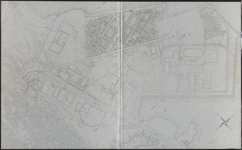
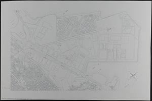
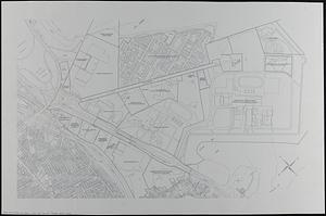
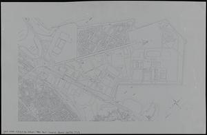
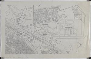
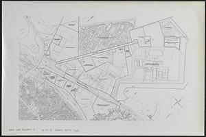
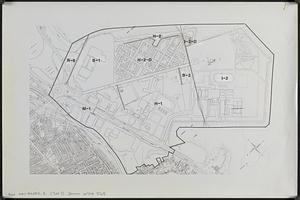
Outline maps showing streets, property boundaries, building footprints, railroad tracks and other features. Maps manuscript or printed, on translucent mylar or paper, some with manuscript annotations, adhesive labels, or graphic art tape.
- Cartographer:
- Boston Redevelopment Authority
- Date:
-
[ca. 1990]
- Format:
-
Maps/Atlases
- Genre:
-
Outline maps
- Location:
-
Boston Public Library
Norman B. Leventhal Map & Education Center - Collection (local):
-
Norman B. Leventhal Map & Education Center Collection
- Series:
- Boston Redevelopment Authority Maps & Manuscript Plans Collection
- Subjects:
-
Dorchester (Boston, Mass.)--Maps
Real property--Massachusetts--Boston--Maps
Business enterprises--Massachusetts--Boston--Maps
Associations, institutions, etc--Massachusetts--Boston--Maps
City planning--Massachusetts--Boston--Maps
Buildings--Massachusetts--Boston--Maps
Urban renewal--Massachusetts--Boston--Maps
- Places:
-
MassachusettsSuffolk (county)BostonDorchester
- Extent:
- 7 maps : on paper and plastic ; sheets 105 x 170 cm or smaller
- Terms of Use:
-
No known copyright restrictions.
No known restrictions on use.
- Place of origin:
-
[Boston]
- Scale:
-
Scale 1:1,200. 1" = 100'
Scale 1:2,400. 1" = 200'
Scale approximately 1:4,800
- Language:
-
English
- Notes:
-
Title and scale from post-its on maps.
Oriented with north to the upper left.
- Identifier:
-
06_01_017882A
06_01_017882B
06_01_017882C
06_01_017882D
- Call #:
-
BRA MAP FOLDER 8
- Barcode:
-
30000007747765


