Toggle navigation
LMEC Home
Exhibitions
Georeferencing
Tools for Teachers
Collections
My Favorites
Sign Up / Log In
Search
Search the map portal
Map Collection
Map Collection
Map Sets
Search
Search
Search for
Search In
All Fields
Creator
Title
Subject
Place
Search All Digital Collections
Advanced Search
287 Results
My Search
Start Over
florida
Remove constraint florida
Filter your Search
Place
North and Central America
205
United States
144
Florida
103
Louisiana
26
North America
24
Alabama
23
Georgia
22
West Indies
22
more
Place
»
Topic
United States--Maps
28
Florida--Maps
26
North America--Maps--Early works to 1800
23
Coasts--Florida--Maps--Early works to 1800
15
Florida--Maps--Early works to 1800
14
Gulf Coast (U.S.)--Maps, Manuscript--Early works to 1800
12
Manuscript maps--Early works to 1800
12
Southern States--Maps
12
more
Topic
»
Date
Date range begin
–
Date range end
Current results range from
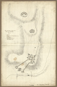
1548
to
1994
View distribution
Creator
Jefferys, Thomas, -1771
8
George, III, King of Great Britain, 1738-1820
7
George, IV, King of Great Britain, 1762-1830
7
United States. Post Office Dept
7
De Brahm, John Gerar William, 1717-approximately 1799
6
Kitchin, Thomas, 1718-1784
6
Pintado, Vicente Sebastián, 1774-1829
6
Sayer, Robert, 1725-1794
5
more
Creator
»
Format
Maps/Atlases
285
Manuscripts
51
Drawings/Illustrations
1
Prints
1
Georeferenced
Yes
22
No
265
Collection
American Revolutionary War-Era Maps
173
Norman B. Leventhal Map Center Collection
145
Library of Congress Collection
41
Maritime Charts and Atlases
37
William L. Clements Library Collection
33
American Antiquarian Society Collection
24
Richard H. Brown Revolutionary War Map Collection at Mount Vernon
14
British Library Collection
12
more
Collection
»
Available to use
No known restrictions
151
Creative Commons license
73
Search Constraints
Sort by relevance
relevance
title
date (asc)
date (desc)
Number of results to display per page
100 per page
10
per page
20
per page
50
per page
100
per page
View results as:
grid view
map view
Search Results
1.
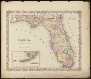
Florida
2.
Florida
3.
Florida
4.
Colton's Florida
5.
Florida gebiet
6.
La Florida
7.
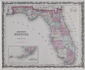
Johnson's Florida
8.
State of Florida
9.
State of Florida
10.
Northern part of Florida
11.
The State of Florida : compiled in the Bureau of Topographical Engineers from the best authorities
12.
Satsuma, Putnam County, Florida : the property of Whitney, Gold and Hodges
13.
Florida from the latest authorities
14.
Florida from the latest authorities
15.
A new sectional map of Florida
16.
Map of Bohemia, Pensacola Bay, Florida
17.
Carolinae Floridae nec non insularum Bahamensium : cum partibus adjacendibus delineatio ad Exemplar Londinense in lucem edita a...
18.
Carte du Mexique et de la Florida : des terres angloises et des Isles Antilles, du cours et des environs de la Riviere de...
19.
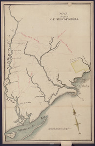
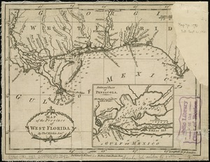
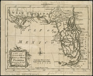
Map of the province of West Florida
20.
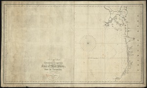
The coast of West Florida and Louisiana
21.
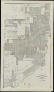
The official plat "City of Miami," Florida
22.
Map of a part of west-Florida : overlay down
23.
Map of a part of west-Florida : overlay up
24.
Florida called by ye French Louisiana &c
25.
Americae pars Borealis, Florida, Baccalaos, Canada, Corterealis
26.
Map of the province of West Florida
27.
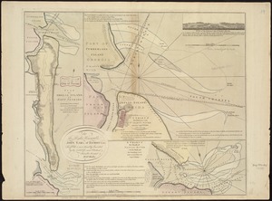
Plan of Amelia Island in East Florida : A chart of the entrance into St. Mary's River taken by Captn. W. Fuller in November,...
28.
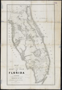
Map of the seat of war in Florida
29.
The Ancient Tegesta, now promontory of East Florida
30.
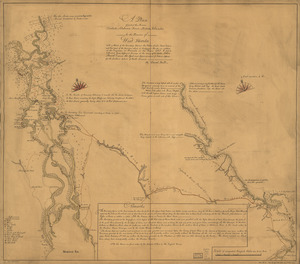
[Map of West Florida and the Mississippi River] : John Campbell
31.
Virginiae item et Floridae Americae provinciarum, nova descriptio
32.
Virginiae item et Floridae Americae provincarum, nova descriptio
33.
[Map of Florida, Carolina, and the Gulf Coast]
34.
Carta particolare della costa di Florida è di Virginia
35.
The peninsula and Gulf of Florida, or New Bahama Channel, : with the Bahama Island
36.
Map of East Florida from St. Augustine to Tampa Bay
37.
Chart of the South End of East Florida and Martiers
38.
Special chart of Cape Florida belonging to the 13th section
39.
A Map of the new governments, of East & West Florida
40.
Plan of Florida, Massachusetts, made by Levi Leonard, dated 1830
41.
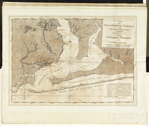
A plan of the harbour of Pensacola in West-Florida
42.
Map of coast from southern Florida to central New Jersey
43.
Southern Railway system
44.
North America : Florida
45.
Plan of the town of St. Augustine, the capital of East Florida ; The bay of Espiritu Santo, on the western coast of East Florida
46.
Reconnoissance of Cape Canaveral Shoals on the eastern coast of Florida
47.
Birds eye view of Florida and part of Georgia and Alabama
48.
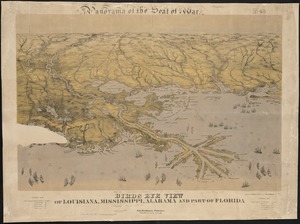
Birds eye view of Louisiana, Mississippi, Alabama and part of Florida
49.
Chart of the coast of America thro' the Gulph of Florida
50.
Païs cedés, sheet Ist, containing the coast of Louisiana and Florida
51.
A plan of part of the rivers Tombecbe, Alabama, Tensa, Perdido, & Scambia in the province of West Florida : with a sketch of...
52.
The coast of Florida from the Dry Tortugas to the old Cape
53.
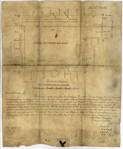
Thomas Hutchins' land grant and map to 2000 acres in West Florida
54.
A new & accurate map of Louisiana, with part of Florida and Canada, : and the adjacent countries drawn from surveys assisted by...
55.
[Coast of South Carolina, Georgia and Florida from Charleston to St. Augustine]
56.
[Coast of South Carolina, Georgia and Florida from Charleston to St. Augustine]
57.
Virginiae partis australis et Floridae partis orientalis, interjacentium[que] regionum nova descriptio
58.
Virginiae partis australis, et Floridae partis orientalis, interjacentiumq[ue] regionum nova descriptio
59.
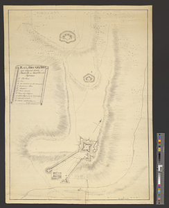
Plan of Fort George and adjacent works at Pensacola in West Florida
60.
Plan of Fort George and adjacent works at Pensacola in West Florida
61.
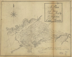
Plan of the town and harbour of St. Augustin, in East Florida
62.
A map with part of the Florida coast from Cape Blaise to Apalachie : with the boundaries betwixt East & West Floridas, 160...
63.
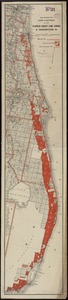
Map showing the lands & waterway of the Florida Coast Line Canal & Transportation Co
64.
A new chart of the West Indies including the Florida Gulf and Stream
65.
British dominions in America, drawn from the latest and best authorities
66.
A new map of the British empire in Nth. America, drawn from the latest authorities
67.
Païs cedés, sheet IId, containing the Peninsula & Gulf of Florida, with the Bahama Islands
68.
[Map of the coast of Florida from Fort William to Musketae River] [north sheet]
69.
[Map of the coast of Florida from Fort William to Musketae River] [south sheet]
70.
A New and accurate map of East and West Florida, drawn from the best authorities
71.
South Pacific Ocean, Solomon Islands, Guadalcanal and Florida Is. with a portion of Malaita I. : from British surveys to 1912
72.
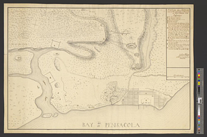
A chart of the bay and harbour of Pensacola in the Province of West Florida
73.
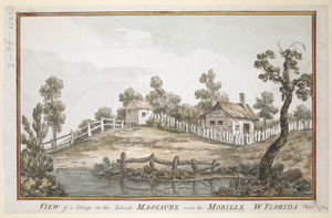
VIEW of a Cottage on the Island MASSACRE near the MOBILLE W. FLORIDA. Oct.r 1764
74.
Carta particolare del'Isola di Cuba è di Iamaica con il capo della Florida è l'Isola Intorno
75.
Plan of the siege of Fort George and works adjacent at Pensacola in West Florida, 1781
76.
A new chart of the Mississippi River, the coast of west Florida, and part of Louisiana
77.
A Plan of West Florida, the Isle of Orleans, and some parts of the Spanish dominions to the westward of the Mississipi
78.
A map of West Florida and part of Et: Florida, Georgia part of So: Carolina i[n]cluding [torn] & Chactaw, Chickasaw & Creek...
79.
A plan of the land between Fort Mossy and St. Augustine in the province of East Florida
80.
Carta particolare dell' Isola di Bermuda sin all' India Occidentale et al' capo S. Romano della Florida
81.
A new and correct chart of the coast of East Florida, and part of West Florida and Gulf of Mexico, Gulf of Florida or Cannel of...
82.
Chart of the coast of America through the Gulph of Florida to the entrance of the Gulph of Mexico
83.
North America, Atlantic coast of the United States, Cape Canaveral to Havana with Straits of Florida and Bahama Banks :...
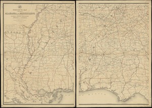
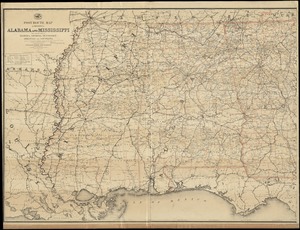
84.
Post route map of the states of Alabama and Mississippi with adjacent parts of Florida, Georgia, Tennessee, Arkansas and...
85.
Post route map of the states of Alabama and Mississippi with adjacent parts of Florida, Georgia, Tennessee, Arkansas and...
86.
A map of East and West Florida, Georgia, and Louisiana, with the islands of Cuba, Bahama, and the countries surrounding the...
87.
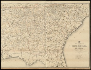
Post route map of the States of South Carolina and Georgia with adjacent parts of North Carolina, Tennessee, Alabama and...
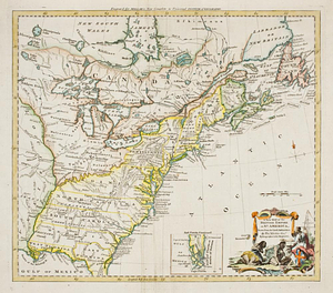
88.
A general map of the southern British colonies in America comprehending North and South Carolina, Georgia, East and West...
89.
A general map of the southern British colonies in America comprehending North and South Carolina, Georgia, East and West...
90.
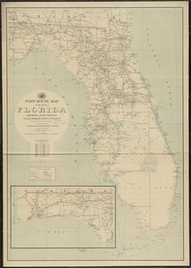
Post route map of the state of Florida showing post offices with the intermediate distances on mail routes in operation on the...
91.
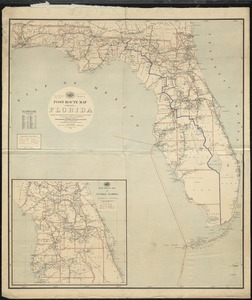
Post route map of the State of Florida showing post offices with the intermediate distances and mail routes in operation on the...
92.
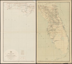
Post route map of the state of Florida showing post offices with the intermediate distances and mail routes in operation on the...
93.
A mapp of Virginia discouered to ye hills, and in its latt: from 35 deg: & 1/2 neer Florida, to 41 deg: bounds of new England
94.
A new chart of the Gulf of Florida and Bahama Banks also the Bahama Islands taken from a new chart published in Cadiz from a...
95.
Plan of the harbour of Pensacola in West Florida with the different stations of the Spanish fleet during the siege from the 9...
96.
A plan of St. Mary's Harbour in the province of East Florida with the proposed post for the defence of it and the inland...
97.
Hydro-geographical map representing part of Sandwich Gulf, and of the New Bahama Channel, the northernmost extent of the Martir...
98.
A new and accurate chart (from Captain Holland's surveys) of the North American coast, for the navigation between Cape Cod in...
99.
View of the city of St. Augustine, Fla : the oldest town in the United States, Juan de Ponce de Leon ldd [?] 1512
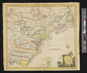
100.
A new and general map of the Southern dominions belonging to the United States of America, viz North Carolina, South Carolina,...
‹ Prev
Next ›
1
2
3


![[Map of West Florida and the Mississippi River]](https://bpldcassets.blob.core.windows.net/derivatives/images/commonwealth:hx11z2898/image_thumbnail_300.jpg)


![[Map of Florida, Carolina, and the Gulf Coast]](https://bpldcassets.blob.core.windows.net/derivatives/images/commonwealth:z603vr379/image_thumbnail_300.jpg)


![[Coast of South Carolina, Georgia and Florida from Charleston to St. Augustine]](https://bpldcassets.blob.core.windows.net/derivatives/images/commonwealth:hx11z450g/image_thumbnail_300.jpg)
![[Coast of South Carolina, Georgia and Florida from Charleston to St. Augustine]](https://bpldcassets.blob.core.windows.net/derivatives/images/commonwealth:hx11z448f/image_thumbnail_300.jpg)
![Virginiae partis australis et Floridae partis orientalis, interjacentium[que] regionum nova descriptio](https://bpldcassets.blob.core.windows.net/derivatives/images/commonwealth:6t053p120/image_thumbnail_300.jpg)
![Virginiae partis australis, et Floridae partis orientalis, interjacentiumq[ue] regionum nova descriptio](https://bpldcassets.blob.core.windows.net/derivatives/images/commonwealth:st74cw930/image_thumbnail_300.jpg)


![[Map of the coast of Florida from Fort William to Musketae River] [north sheet]](https://bpldcassets.blob.core.windows.net/derivatives/images/commonwealth:hx11z4742/image_thumbnail_300.jpg)
![[Map of the coast of Florida from Fort William to Musketae River] [south sheet]](https://bpldcassets.blob.core.windows.net/derivatives/images/commonwealth:hx11z476m/image_thumbnail_300.jpg)


![A map of West Florida and part of Et: Florida, Georgia part of So: Carolina i[n]cluding [torn] & Chactaw, Chickasaw & Creek nations with [torn] [r]oad [torn] Pensacola through ye: Creek nation to Augusitus & Charlestown](https://bpldcassets.blob.core.windows.net/derivatives/metadata/commonwealth-oai:v98001375/image_thumbnail_300.jpg)


![A plan of St. Mary's Harbour in the province of East Florida with the proposed post for the defence of it and the inland navigation to St. Jones [sic] River](https://bpldcassets.blob.core.windows.net/derivatives/metadata/commonwealth-oai:cv43st68h/image_thumbnail_300.jpg)