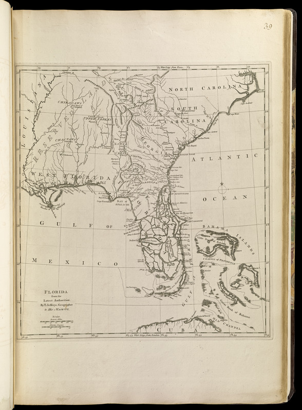
Florida from the latest authorities
Item Information
- Title:
- Florida from the latest authorities
- Creator:
- Jefferys, Thomas, -1771
- Publisher:
- Sayer, Robert, 1725-1794
- Name on Item:
-
by T. Jefferys, geography to His Majesty
- Date:
-
[1768]
- Format:
-
Maps/Atlases
- Location:
-
Boston Public Library
Norman B. Leventhal Map & Education Center - Collection (local):
-
Norman B. Leventhal Map & Education Center Collection
- Subjects:
-
Indians of North America--Maps--Early works to 1800
Southern States--Maps--Early works to 1800
- Places:
-
Southern United States (area)
- Extent:
- 1 map ; 37 x 34 cm.
- Terms of Use:
-
No known copyright restrictions.
No known restrictions on use.
- Publisher:
-
London :
Printed for Robert Sayer, ... and Thomas Jefferys
- Scale:
-
Scale [ca. 1:4,200,000]
- Language:
-
English
- Notes:
-
Prime meridians: London and Ferro.
Relief shown pictorially.
Appears in Jefferys' General topography of North America and the West Indies. London: Printed for Robert Sayer, ... and Thomas Jefferys, 1768.
- Notes (date):
-
This date is inferred.
- Notes (citation):
-
Cumming, W.P. Southeast in early maps, 366
- Identifier:
-
4000137_0077
- Call #:
-
G1105 .J4 1768
- Barcode:
-
30000003254698


