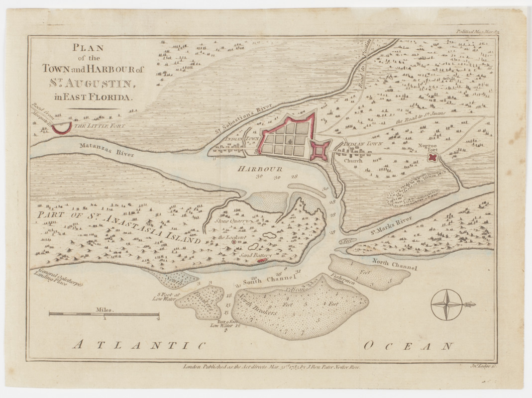
Plan of the town and harbour of St. Augustin, in East Florida
This map is also available in American Revolutionary Geographies Online (ARGO), a collections portal especially built for material relating to the American Revolutionary War Era. Visit ARGO to learn more about this item and explore the historical geography of North America in the late eighteenth century.
Item Information
- Title:
- Plan of the town and harbour of St. Augustin, in East Florida
- Title (uniform):
-
Political magazine (London, England)
- Description:
-
Subject: Map of the area surrounding Saint Augustine, Florida. Includes location of a large fort surrounded by two Indian towns with a small "Negroe fort," the "Little Fort," a lookout and a stone quarry.
- Engraver:
- Lodge, John
- Name on Item:
-
Jno. Lodge sc.
- Date:
-
[1783]
- Format:
-
Maps/Atlases
- Location:
- American Antiquarian Society
- Collection (local):
-
American Antiquarian Society Collection
- Subjects:
-
Saint Augustine (Fla.)--Maps
United States--History--Revolution, 1775-1783--Maps
- Places:
-
Saint Johns (county)Saint Augustine
- Extent:
- 1 map : engraving, hand colored ; 18 x 25 cm., on sheet 20 x 27 cm.
- Terms of Use:
-
Public Domain/No known restrictions on use. Contact host institution to download image.
Contact host institution for more information.
- Publisher:
-
London :
Published as the Act directs, Mar. 31st. 1783, by J. Bew Pater Noster Row.
- Scale:
-
Scale [ca. 1:71,280]
- Language:
-
English
- Catalog Record:
-
http://catalog.mwa.org/vwebv/holdingsInfo?bibId=490217
- Notes:
-
Relief shown pictorially. Depths shown by soundings.
Oriented with north at right.
"Political mag. Mar. 83."
From the Political magazine, London, March, 1783.
- Notes (date):
-
This date is inferred.

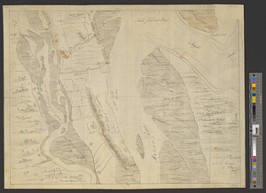
![A sketch of St. Augustin [sic] Harbour &c.](https://bpldcassets.blob.core.windows.net/derivatives/metadata/commonwealth-oai:vd670z134/image_thumbnail_300.jpg)