Search Constraints
Search Results

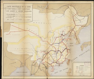


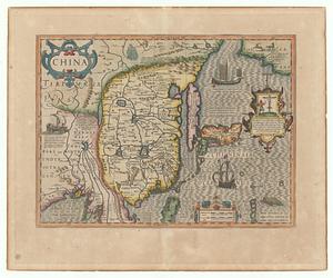
5. China

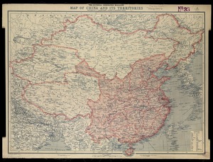
6. China

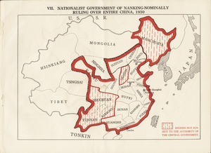
7. China

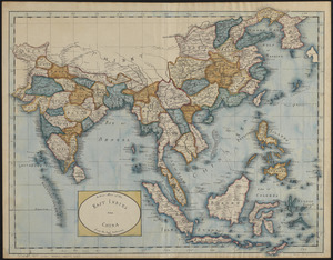
8. China


![[Universal map of China]](https://bpldcassets.blob.core.windows.net/derivatives/images/commonwealth:qb98n8079/image_thumbnail_300.jpg)


24. China


29. Dongguk yojido

30. Haejwa do

31. Yeojido


33. 1630 shoreline


39. 227 Harzgerode

40. 305 Glatz


42. 4 Kinten

![[A chart of Boston Bay and vicinity]](https://bpldcassets.blob.core.windows.net/derivatives/images/commonwealth:cj82m2976/image_thumbnail_300.jpg)


84. Adriatic


86. Aegyptus Antiqua


97. Africa


99. Africa
